Projects
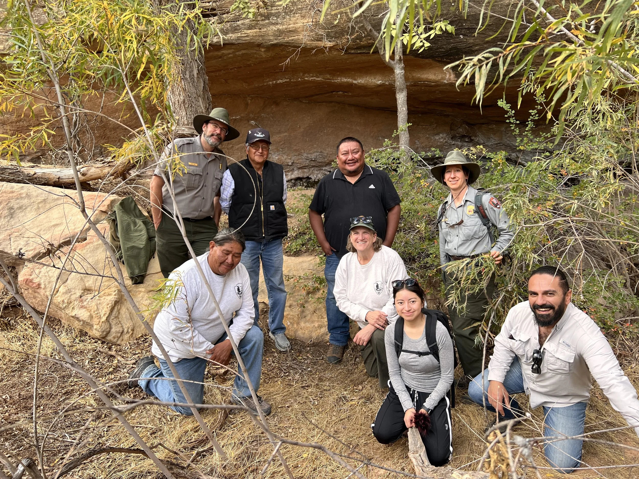
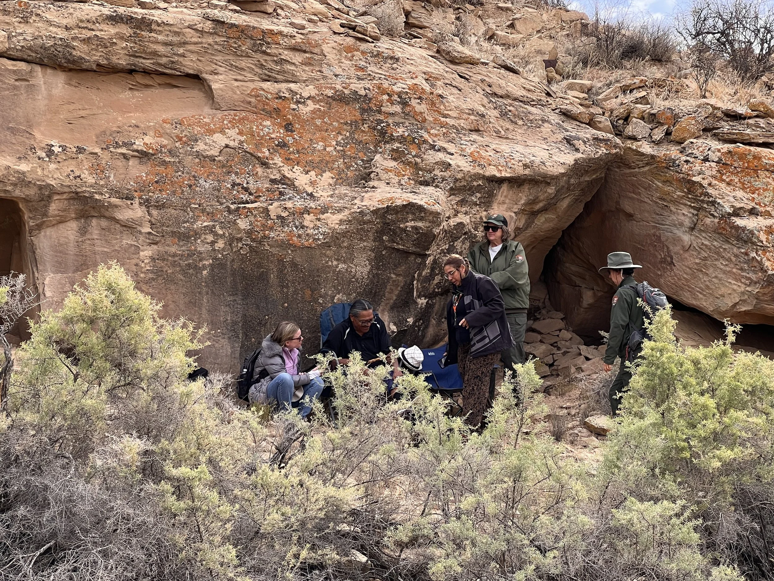
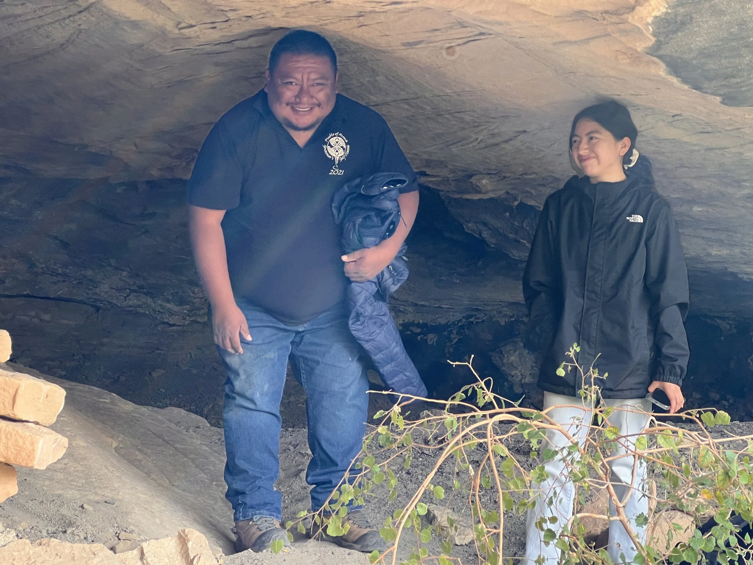
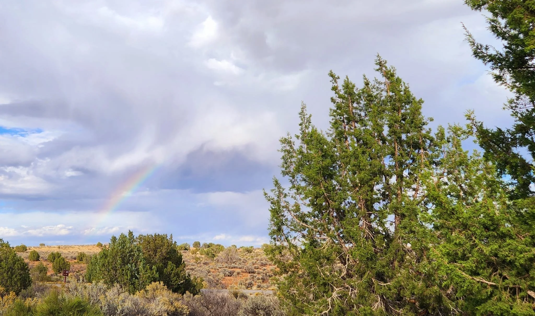
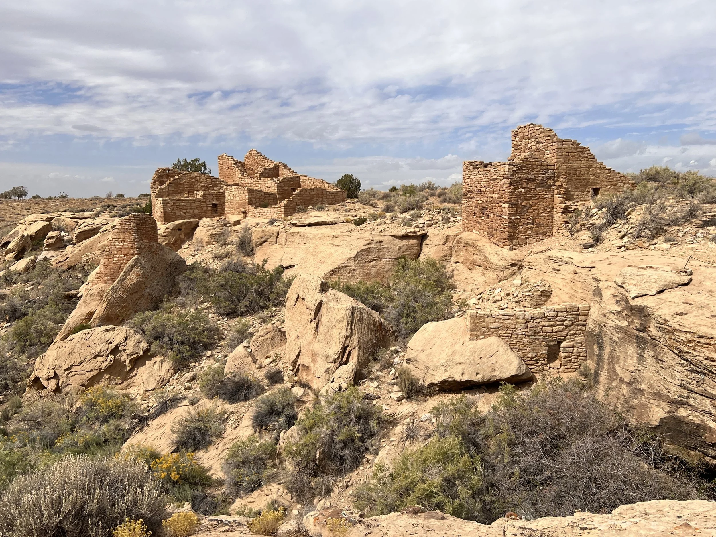
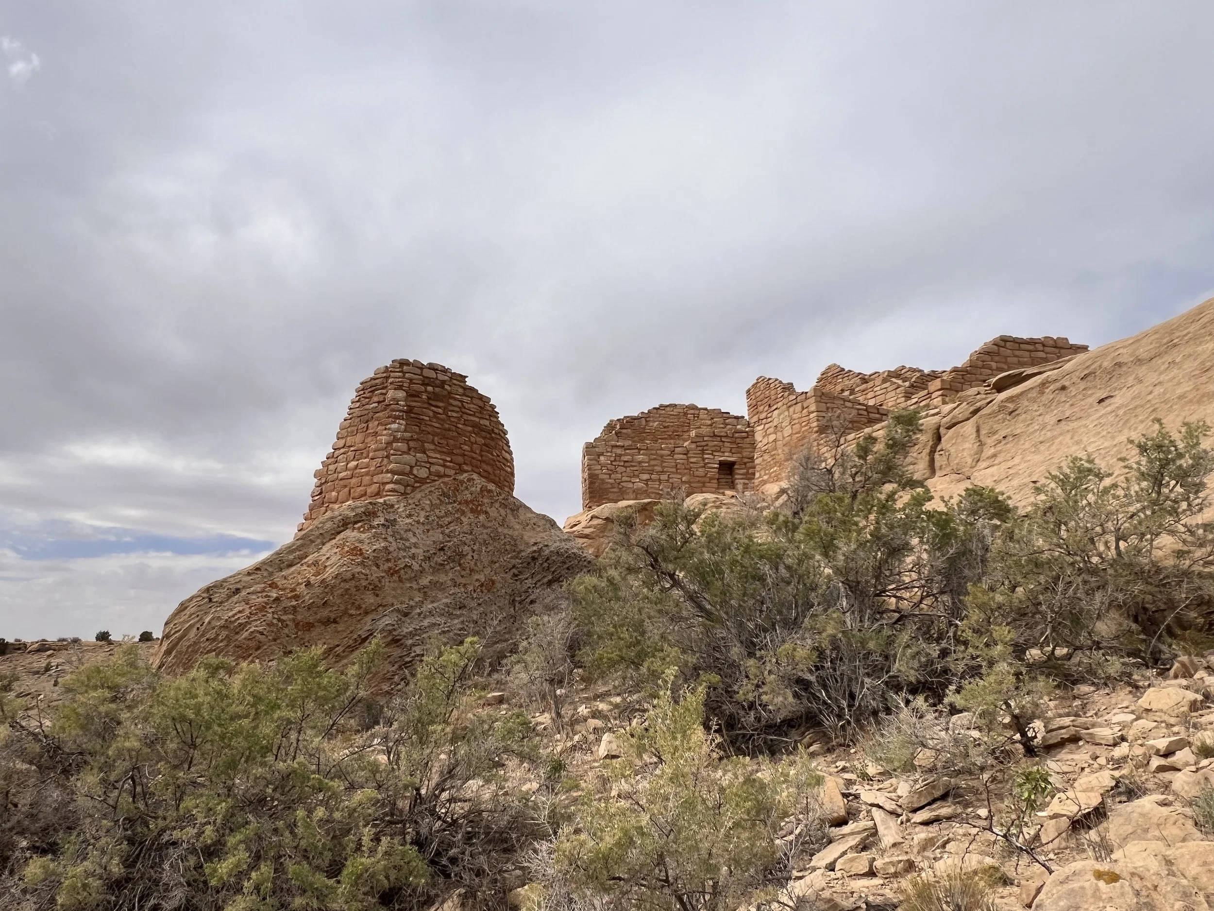
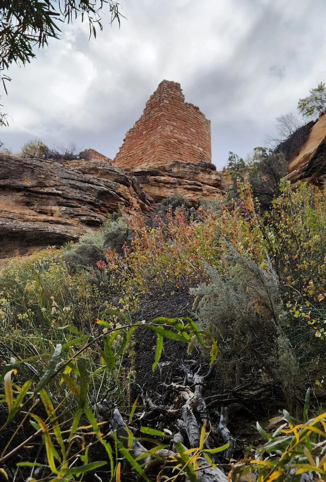
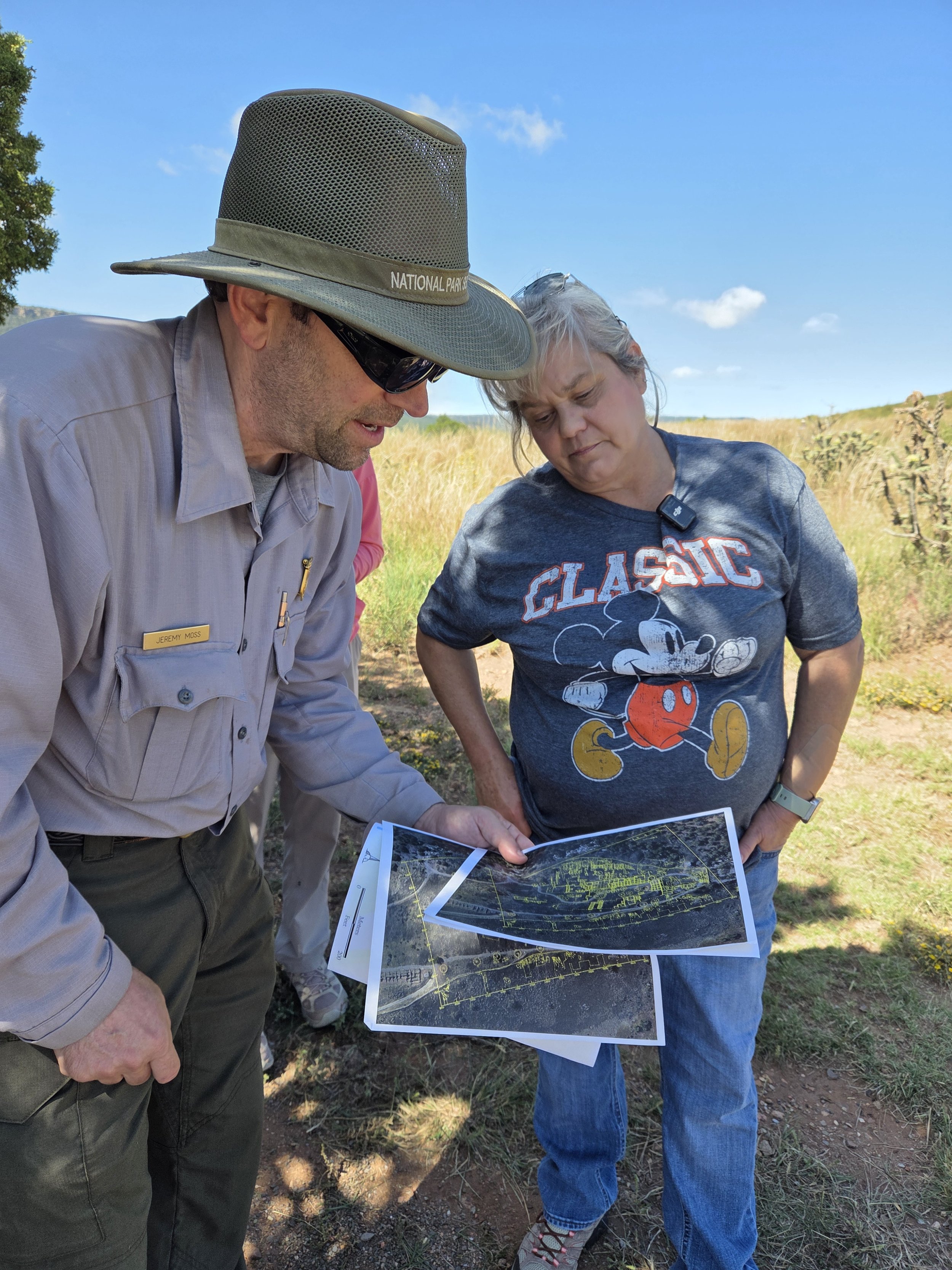
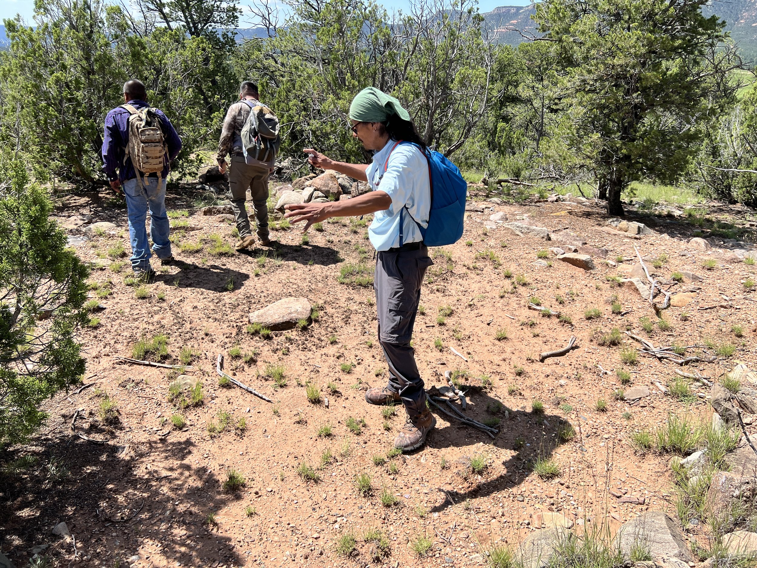
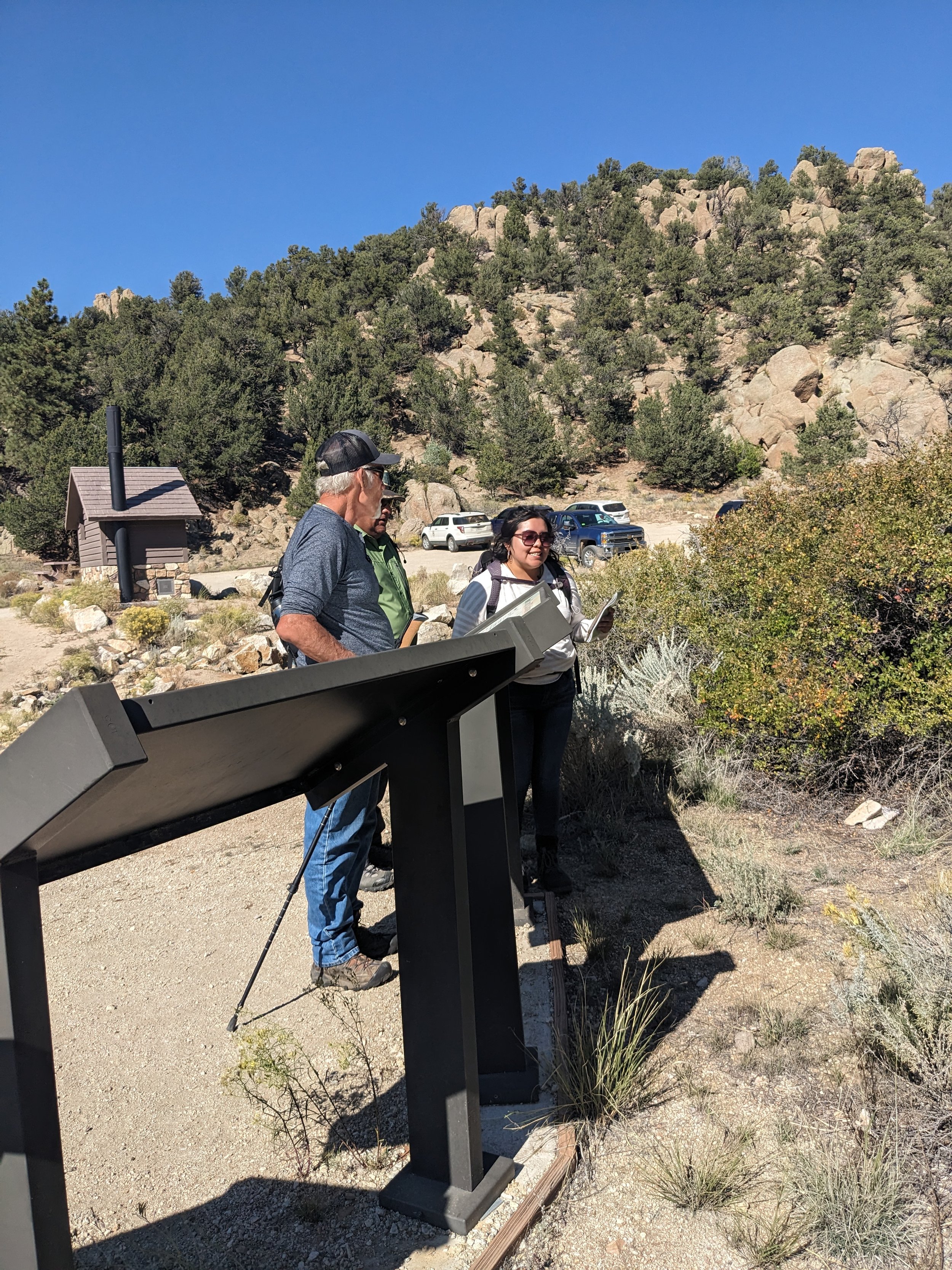
Hovenweep Natural Springs Co-Stewardship Project
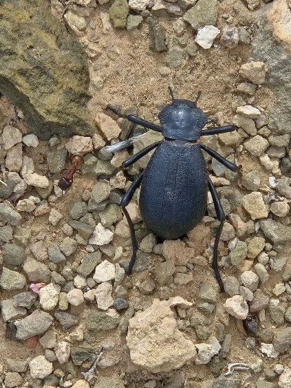
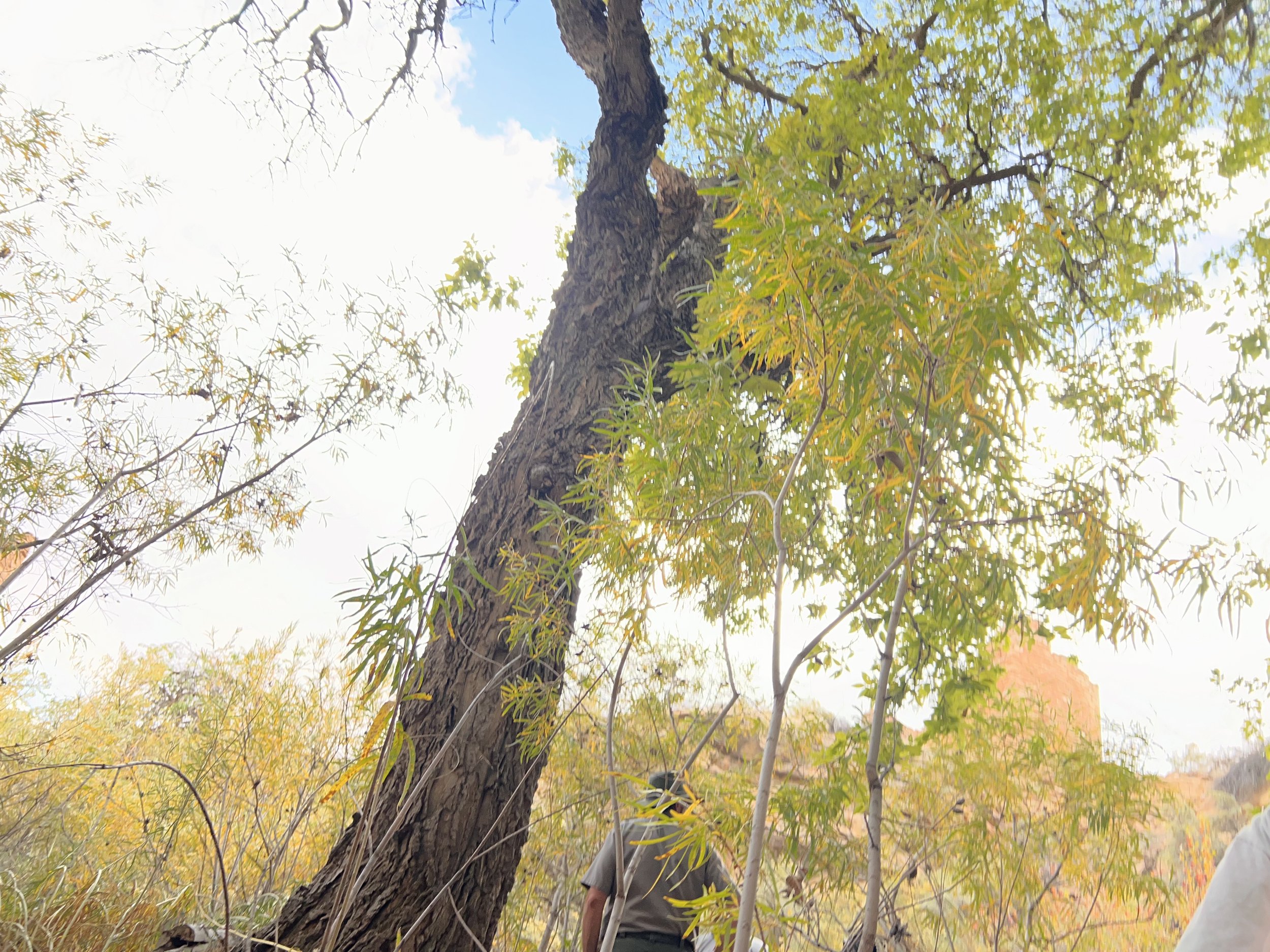
In the 2019 ethnographic report produced by the University of Arizona (Stoffle et al. 2019), participating tribes made recommendations related to the five major springs found at Hovenweep National Monument (Hovenweep). Tribal representatives from the six participating tribes noted that the springs were vital cultural resources that were significant to sustaining all life within the Southwest. They described the springs as powerful and useful in specific ceremonies and doctoring. For this reason, they have requested to return to the monument for ceremony, and traditional forms of spring cleaning and conservation. The tribes have also requested they be involved in co-stewardship activities for these springs.
Led by the tribes, this project will help inform the Hovenweep’s springs management plan and will develop a co-stewardship plan. The tribes are involved in all aspects of the project, including a multi-step review process. The results will provide information for park planning, interpretation, and resources management. Information on resources’ conditions and predictions of resources’ responses to climate change stresses, visitors-caused stresses, and stresses caused by cultural uses will be included. If provided by the tribes, Indigenous knowledge and in particular, traditional ecological knowledge, will inform Hovenweep’s ongoing adaptive management for its natural and cultural resources.
The second objective of developing a co-stewardship plan with the participating tribes, will include issues such as tribal capacity, authority, benefit, and overall desired involvement in co-stewardship of Hovenweep’s springs and beyond. Consultation with tribal nations will help our Hovenweep federal partners understand current tribal capacity for co-stewardship of natural resources at the park, and what that might look like. This plan may serve as a model for those wanting to develop similar agreements between tribal and non-tribal entities.


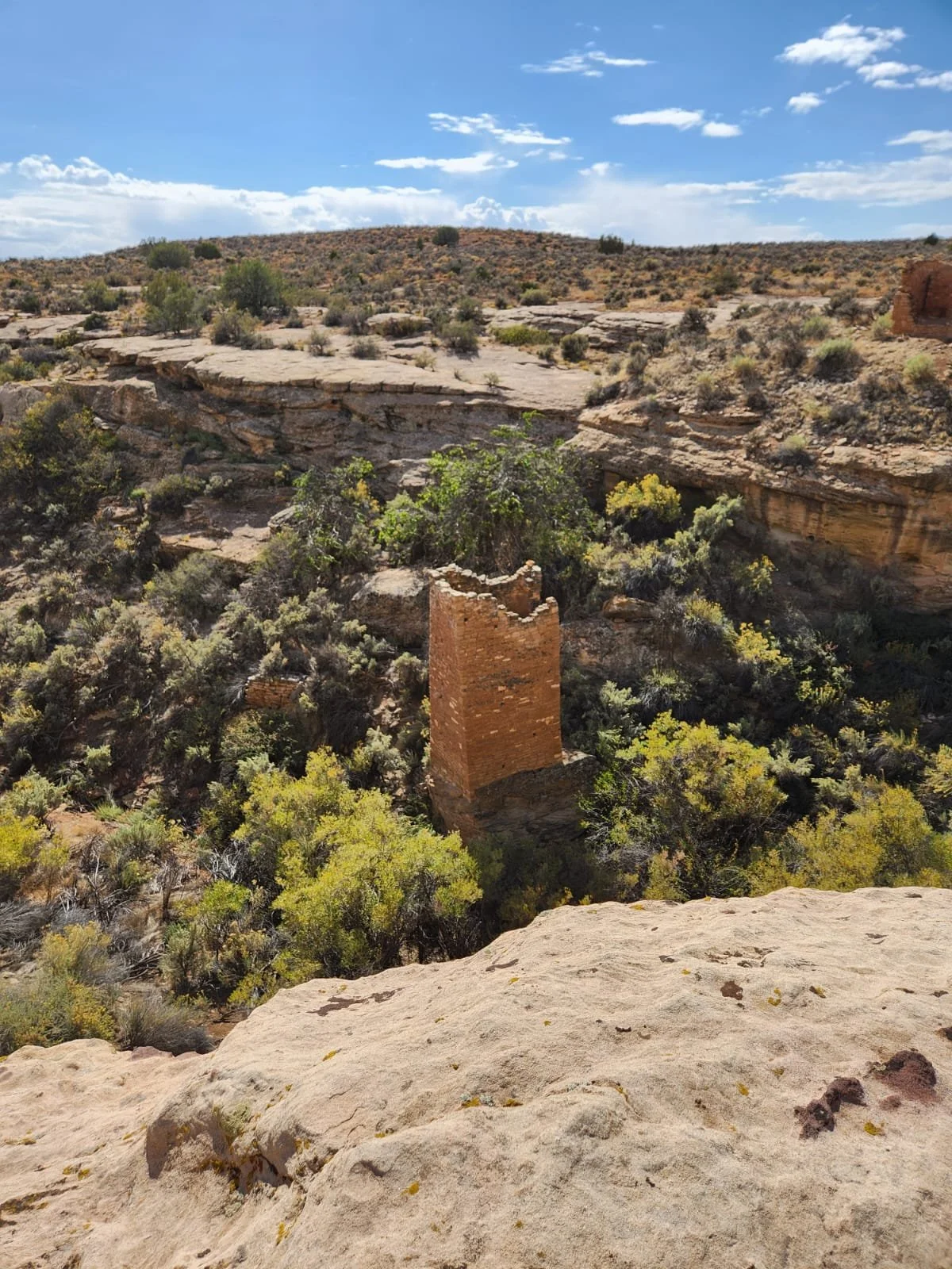
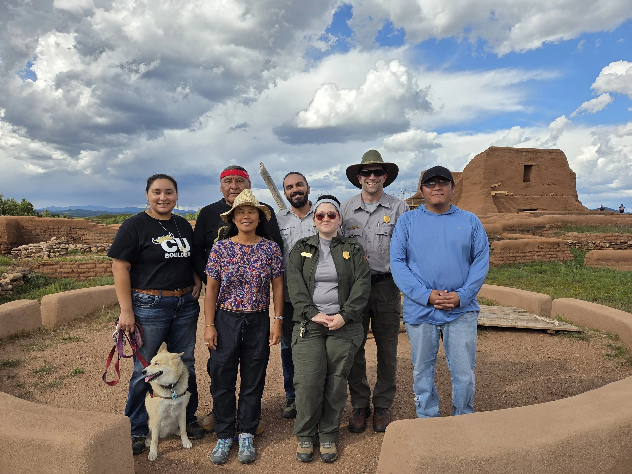
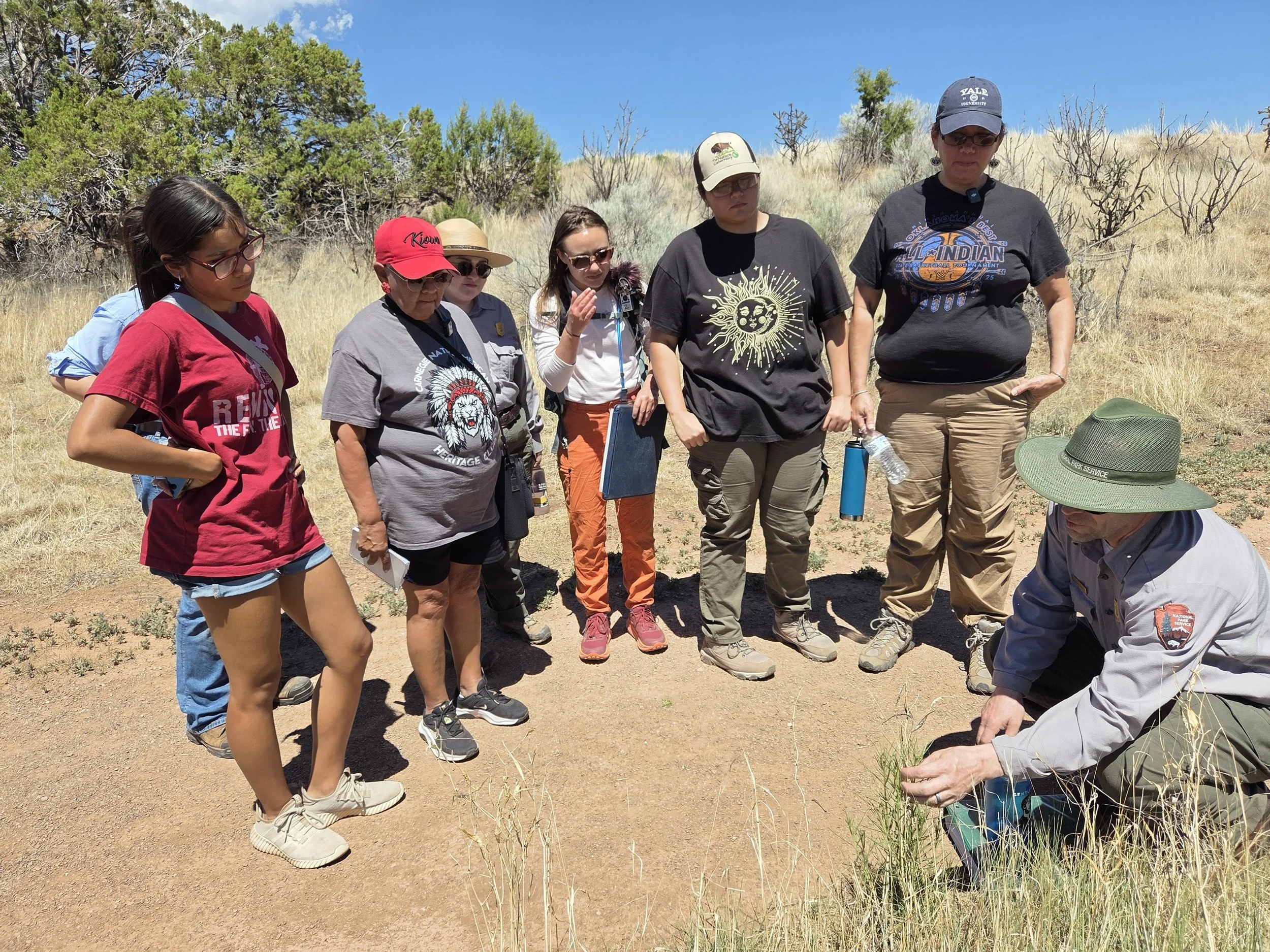
Pecos National Historical Park Traditional Use Study
The P’ǽkilâ clan, “the place above the water” were the last descendents of Pecos Pueblo. On August 2, 1838 the P’ǽkilâ returned to live with their Hemish relatives at Jemez Pueblo, known to them as Wâala Tûuwa (Toya 2019; Tosa 2019). The significance of Pecos is remembered today by Jemez Pueblo citizens and celebrated as an annual Feast Day at the park.
In addition to Jemez Pueblo, both Pueblo and Plains communities alike remember Pecos as an important place. Pecos is uniquely situated between the edge of two worlds, the expanse of the Great Plains and the southern Rocky Mountains. The convergence of these eco-regions offers an abundance of biodiversity and natural resources, and subsequently, rich trade relationships that were cemented in familial relations. The generational relationships to Pecos are connected through lineage and remembered in the land.
Despite our understanding of Pecos as a significant trading site for goods across North America, former studies have focused on Jemez Pueblo’s affiliation to the park, as documented in the early 1990s by Francis Levine and colleagues. In response to the gaps in early ethnographic studies and Jemez Pueblo’s request to include additional Indigenous relatives, the ongoing Traditional Use Study aims to encompass and honor the multitude of relationships between Pueblo and Plains peoples to the Pecos landscape. Through understanding how affiliated Tribes have historically cared for the lands that sustained them, this study 1) provides opportunities for intergenerational knowledge transfer between elders and youth, 2) serves as a guide for the park’s management of its many cultural and natural resources, and 3) opens pathways for co-stewardship and co-management initiatives between tribal and federal partners.
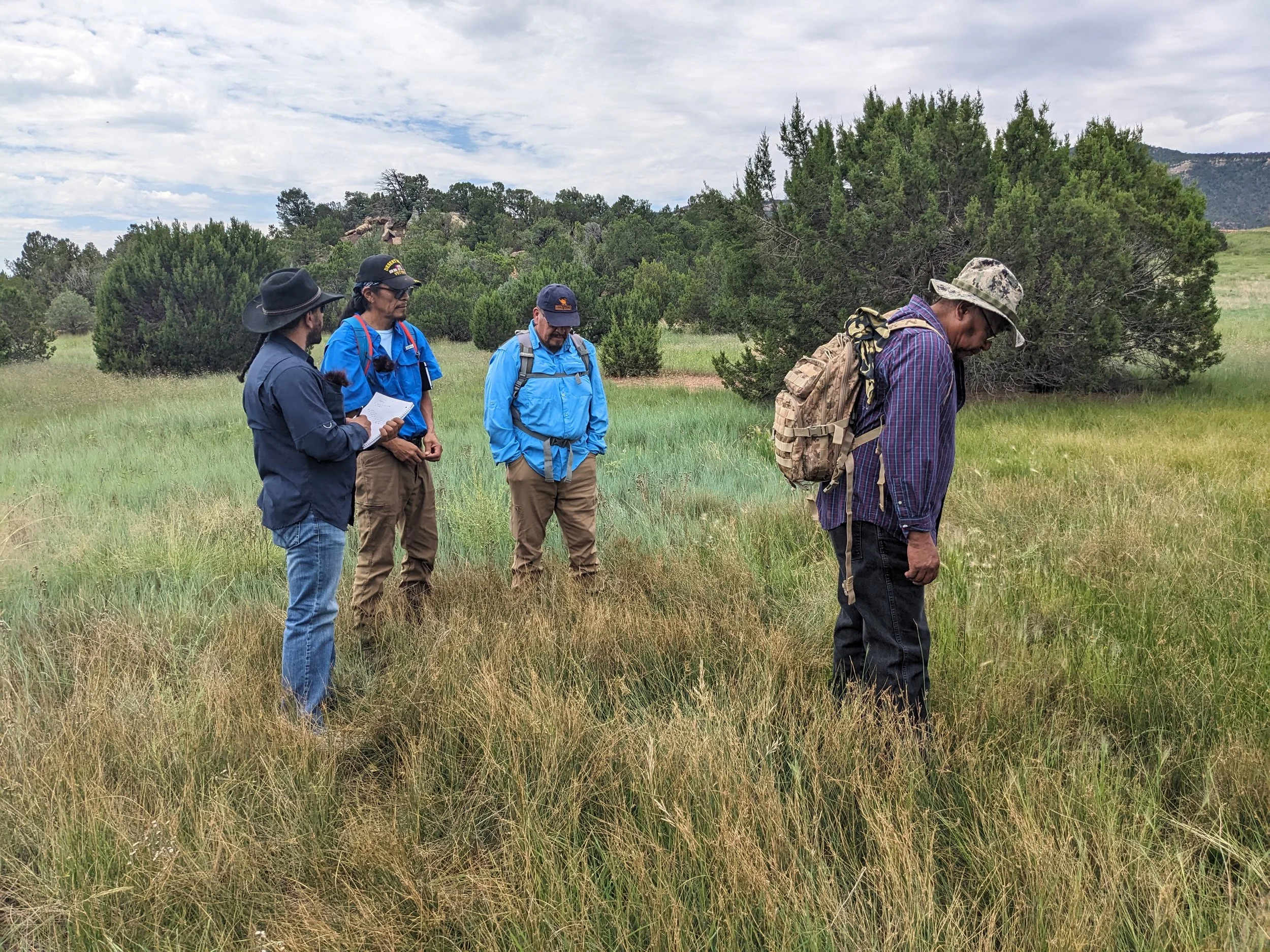

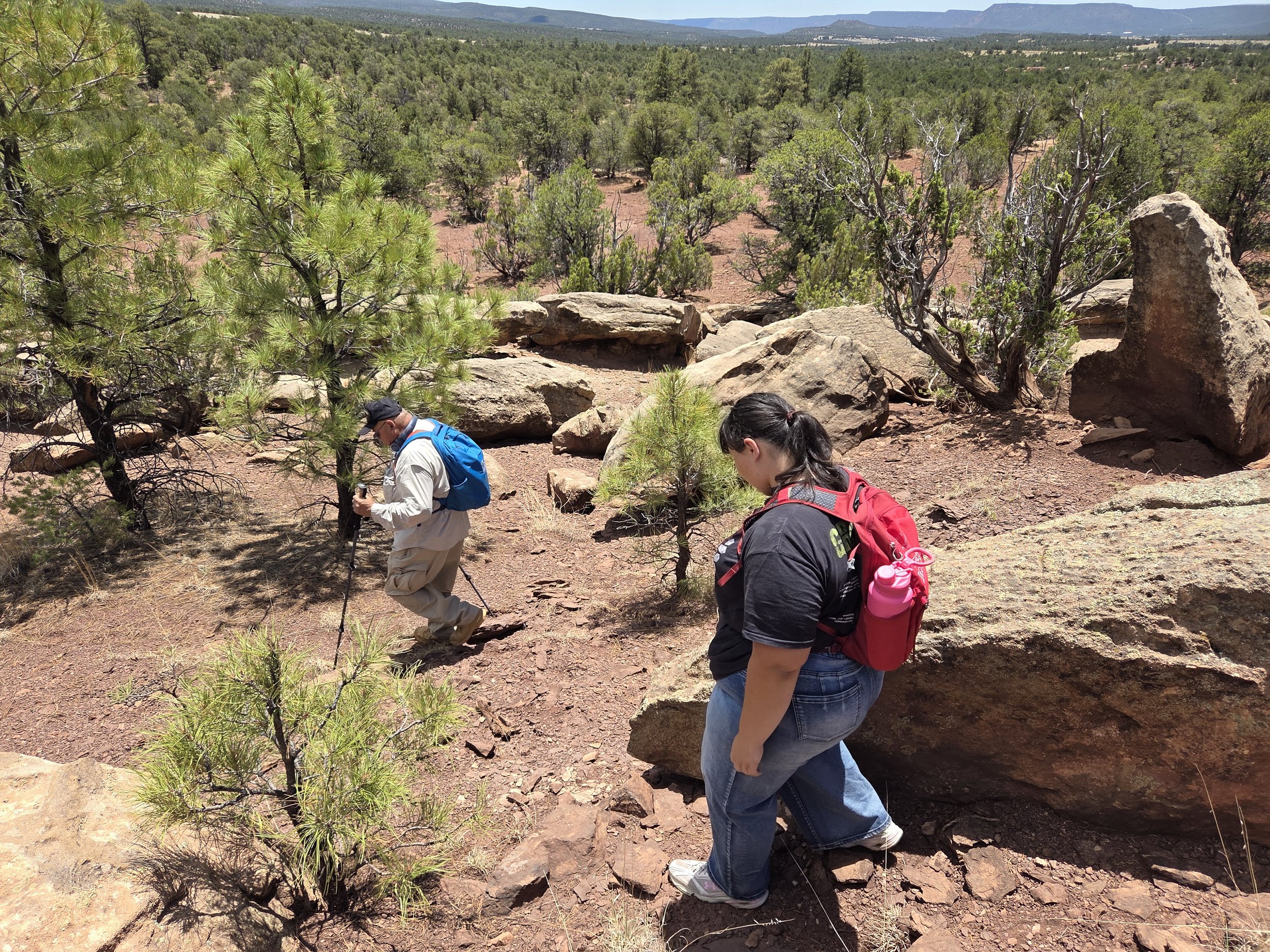

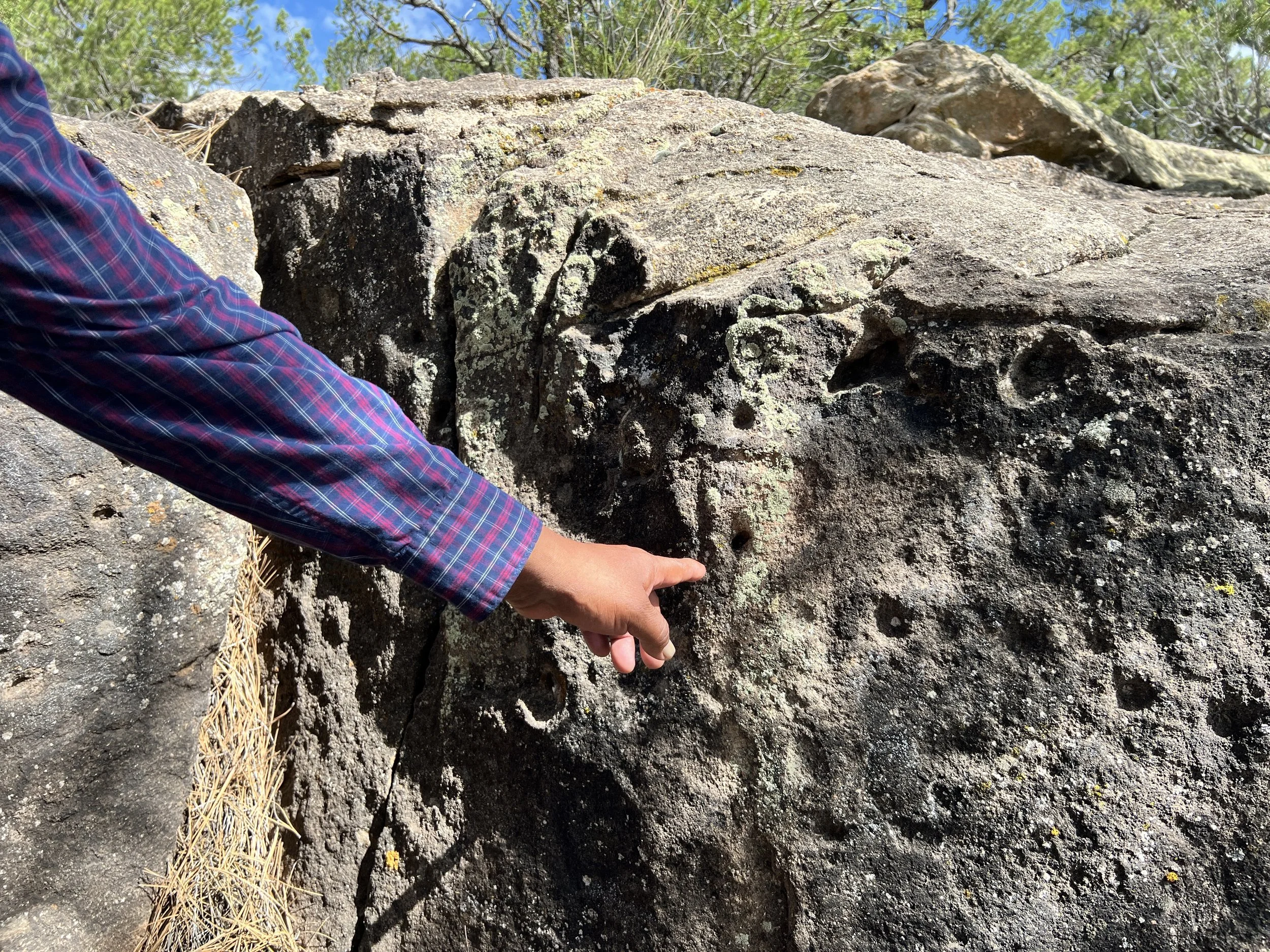
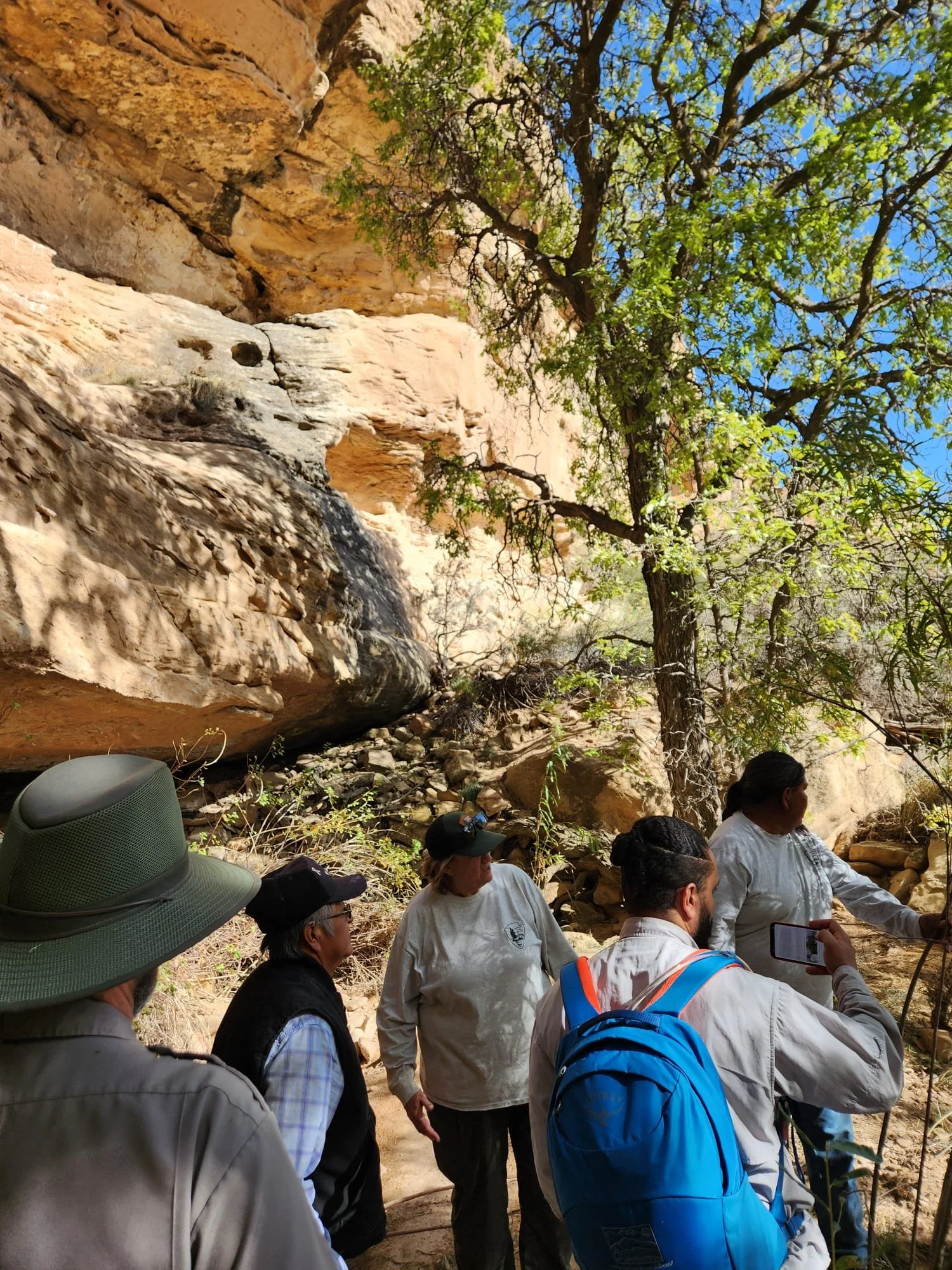
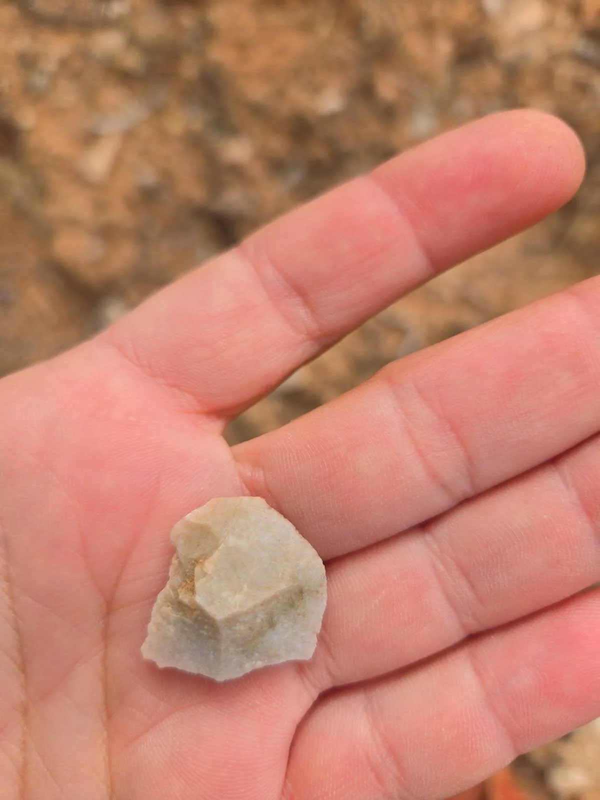
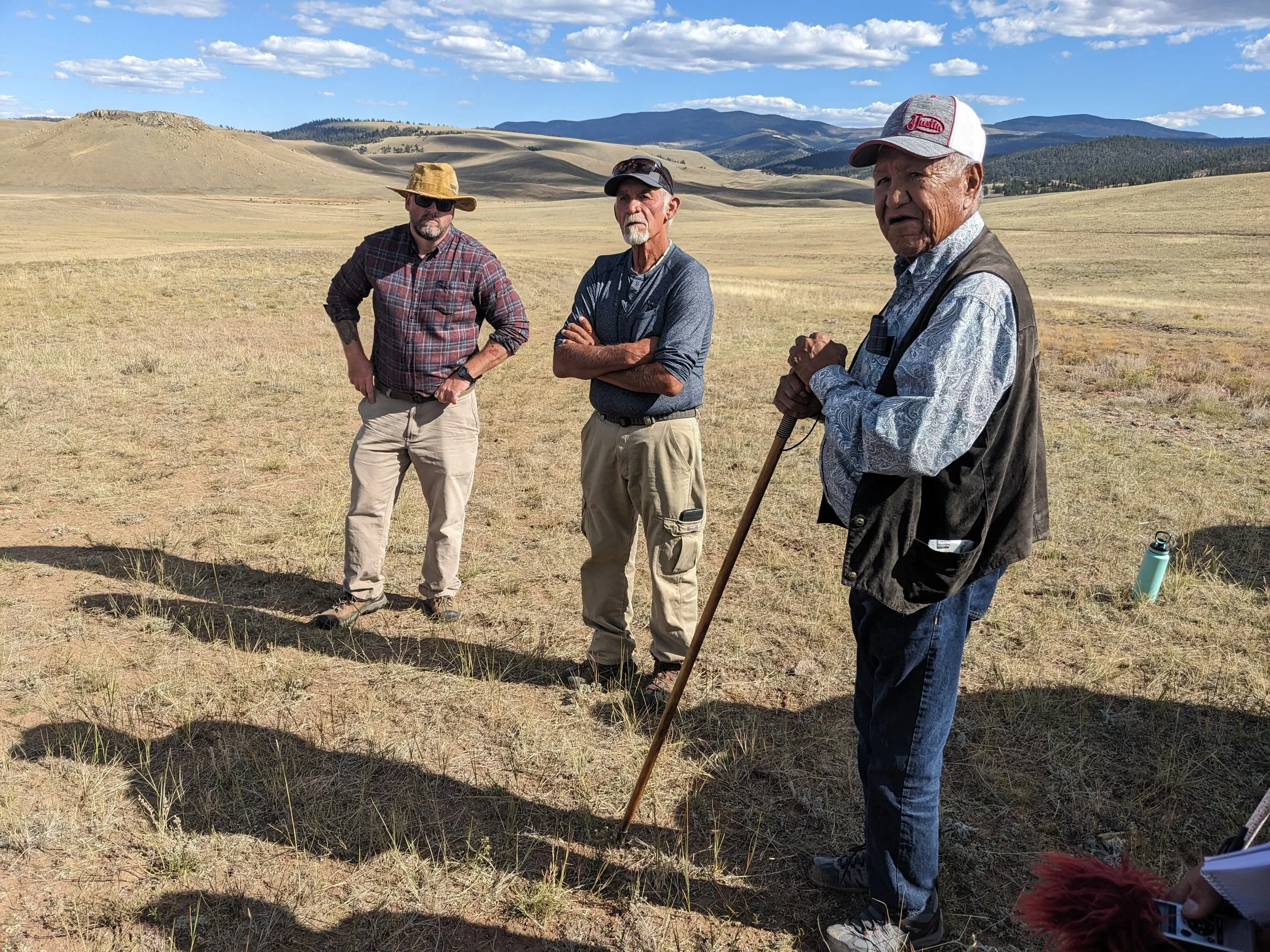
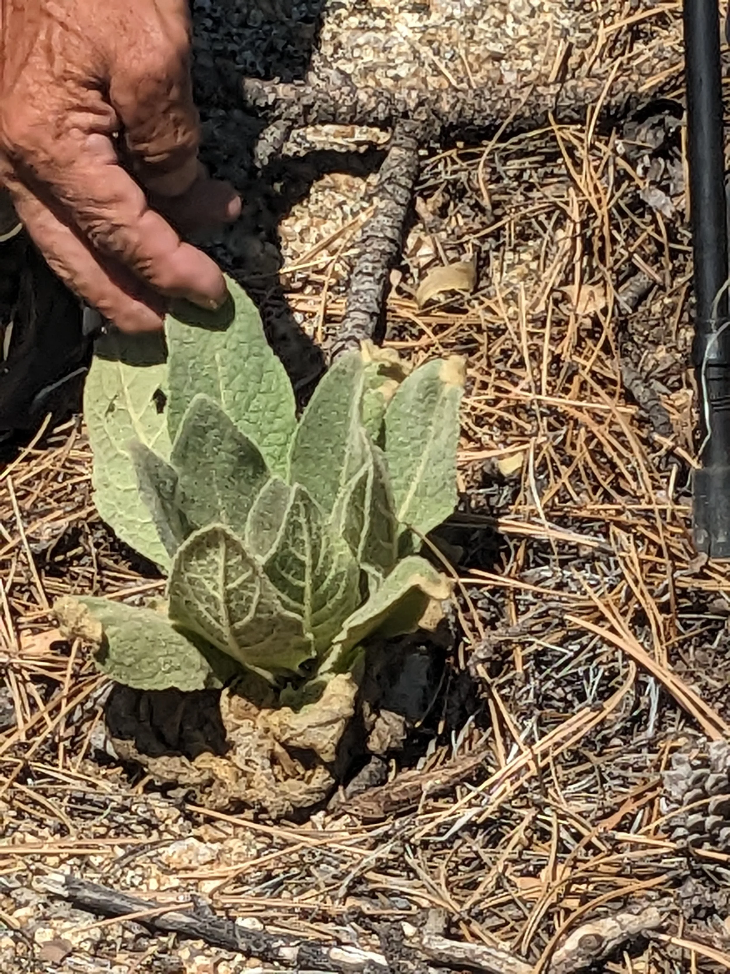
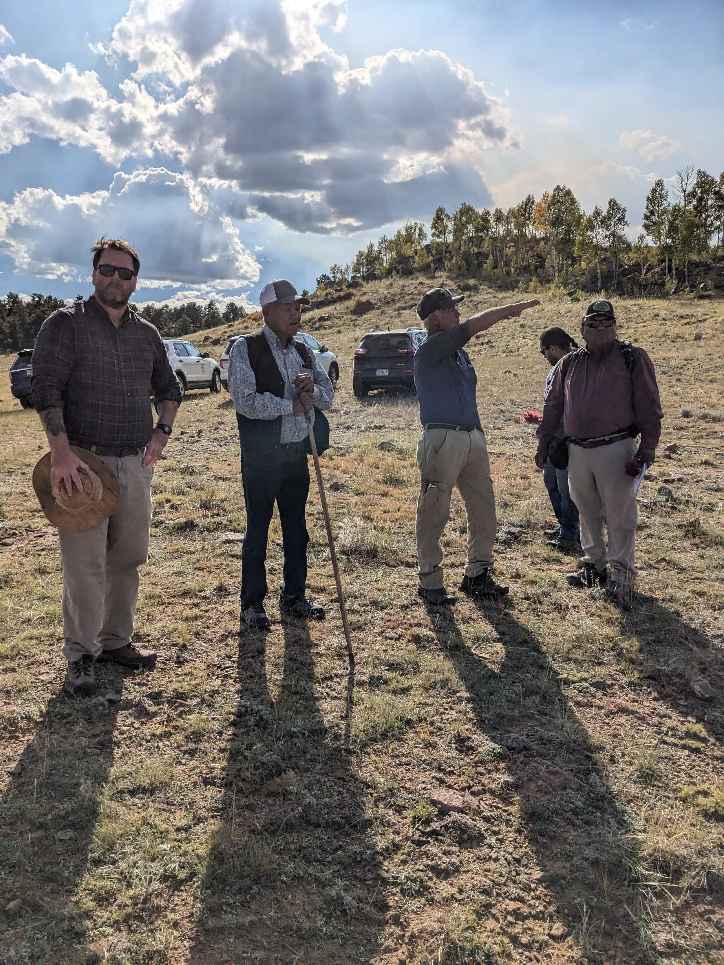
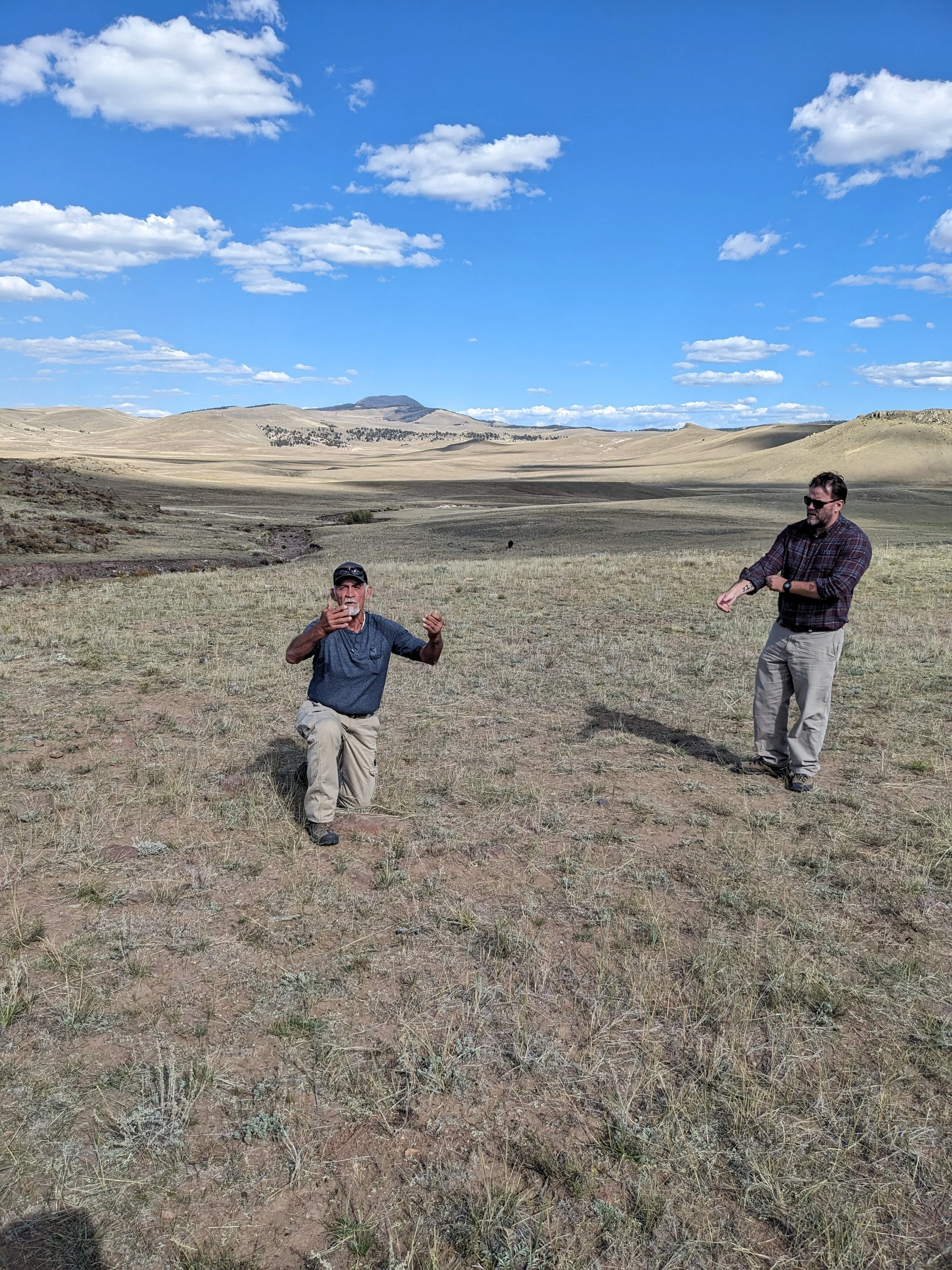
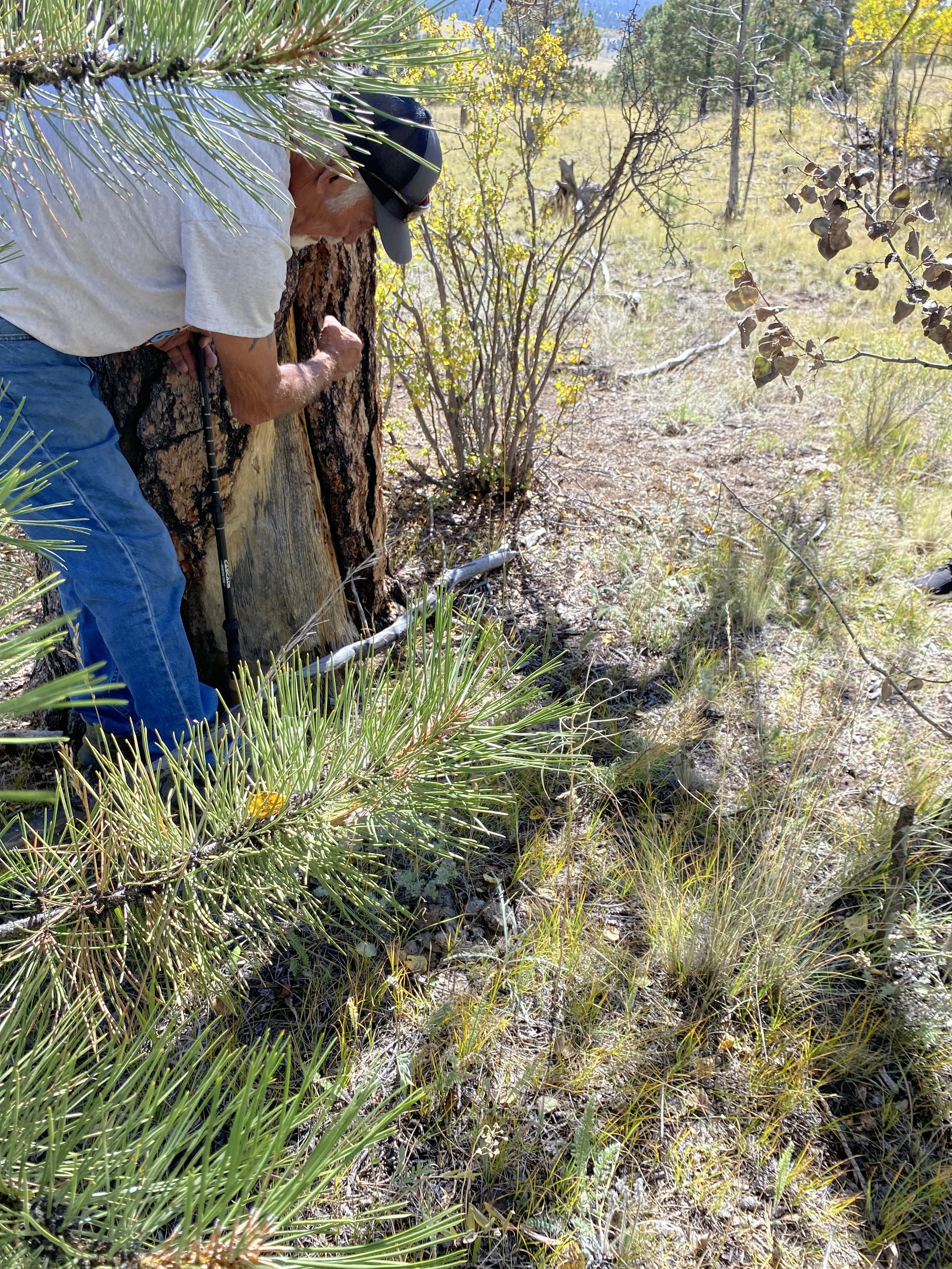
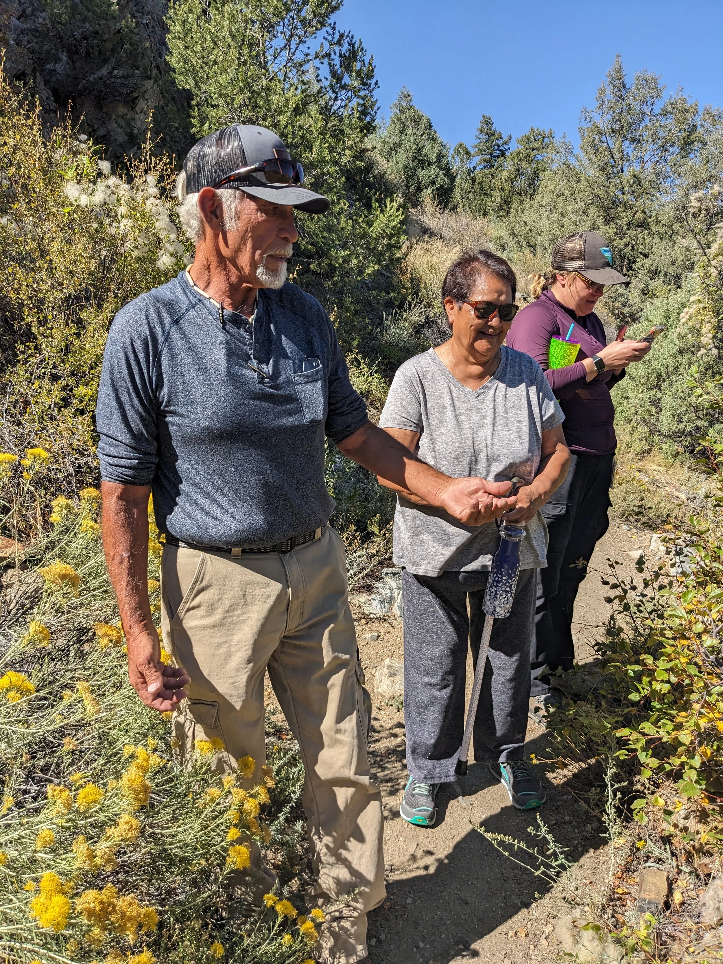
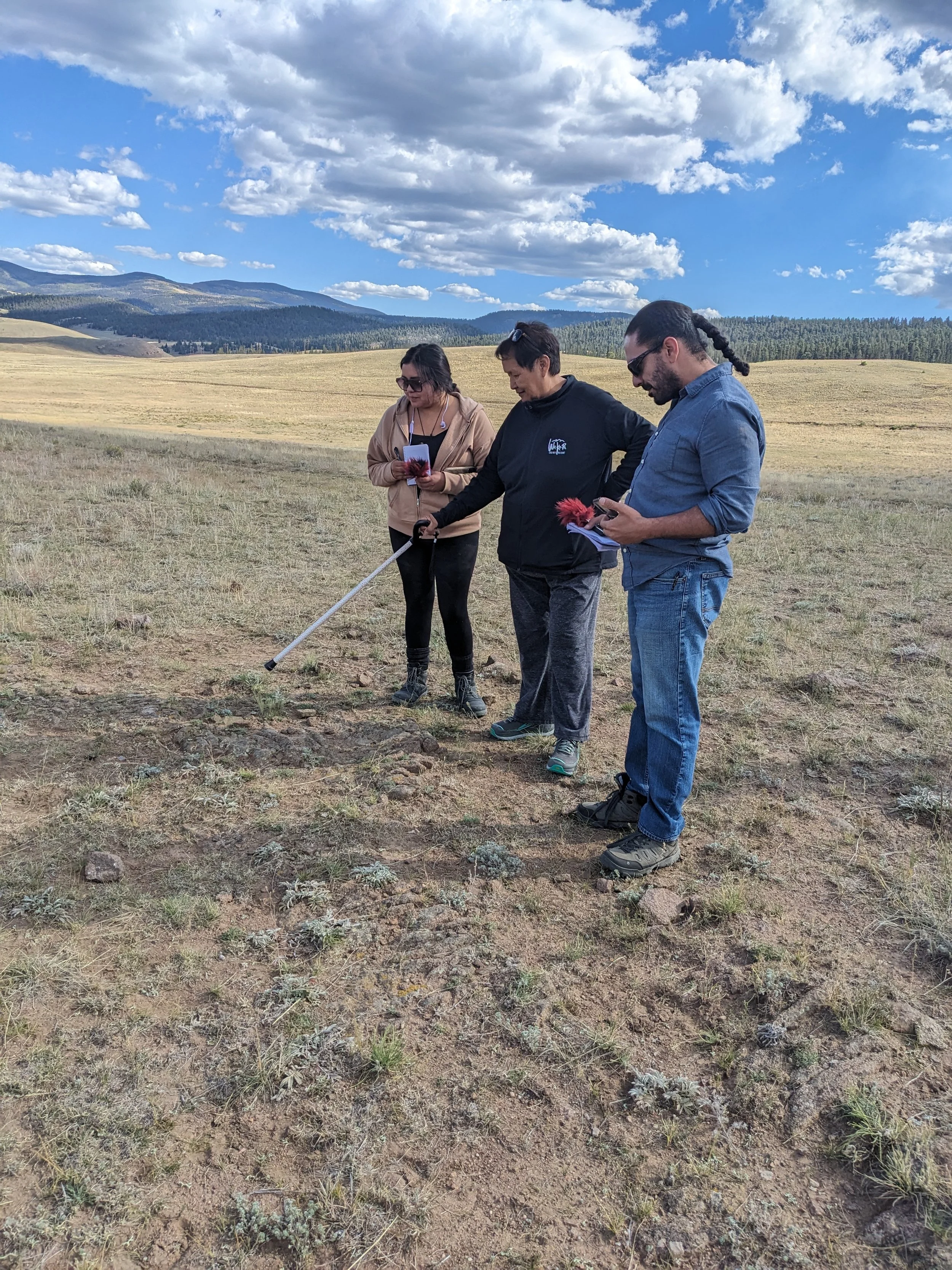
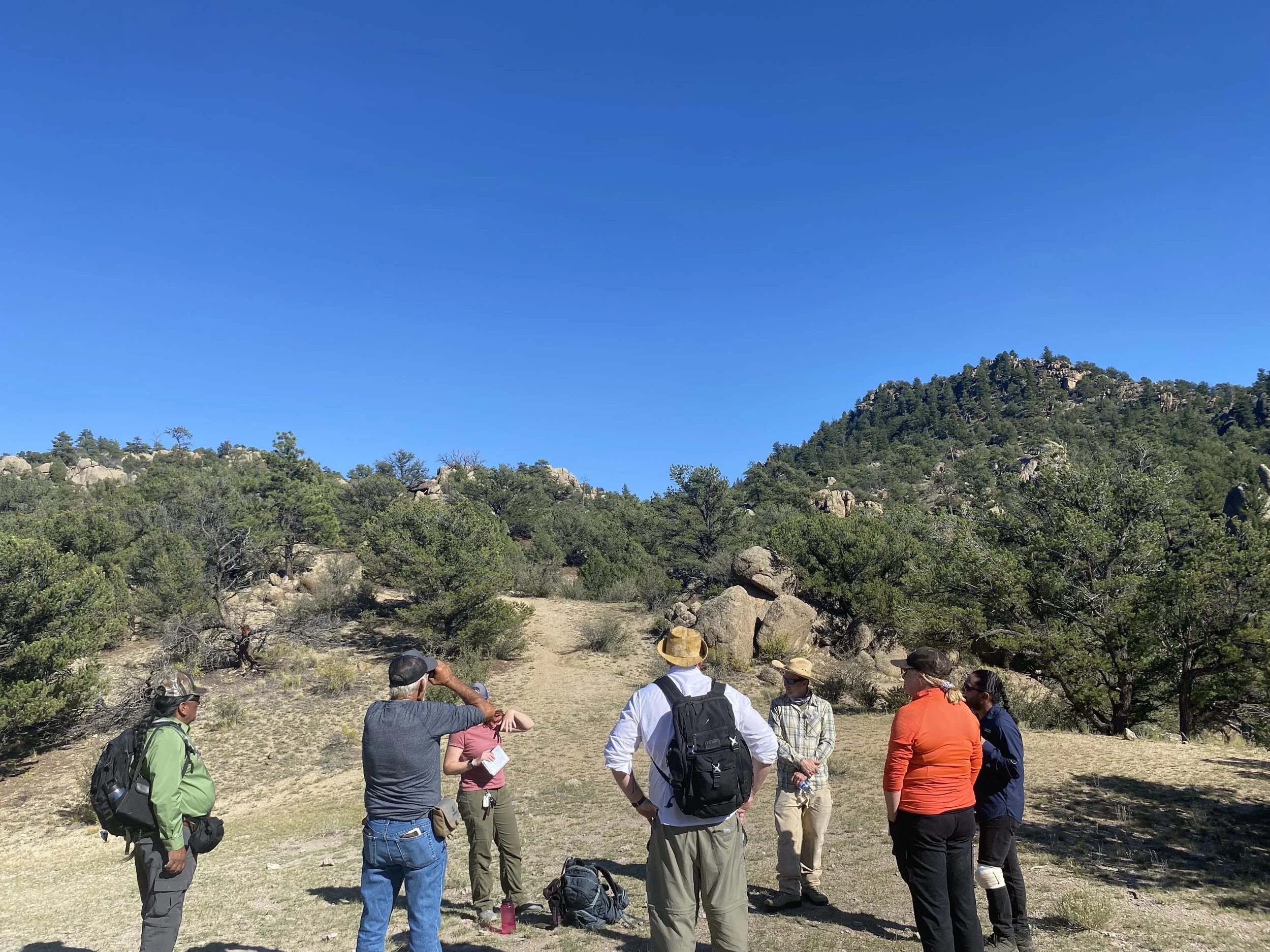
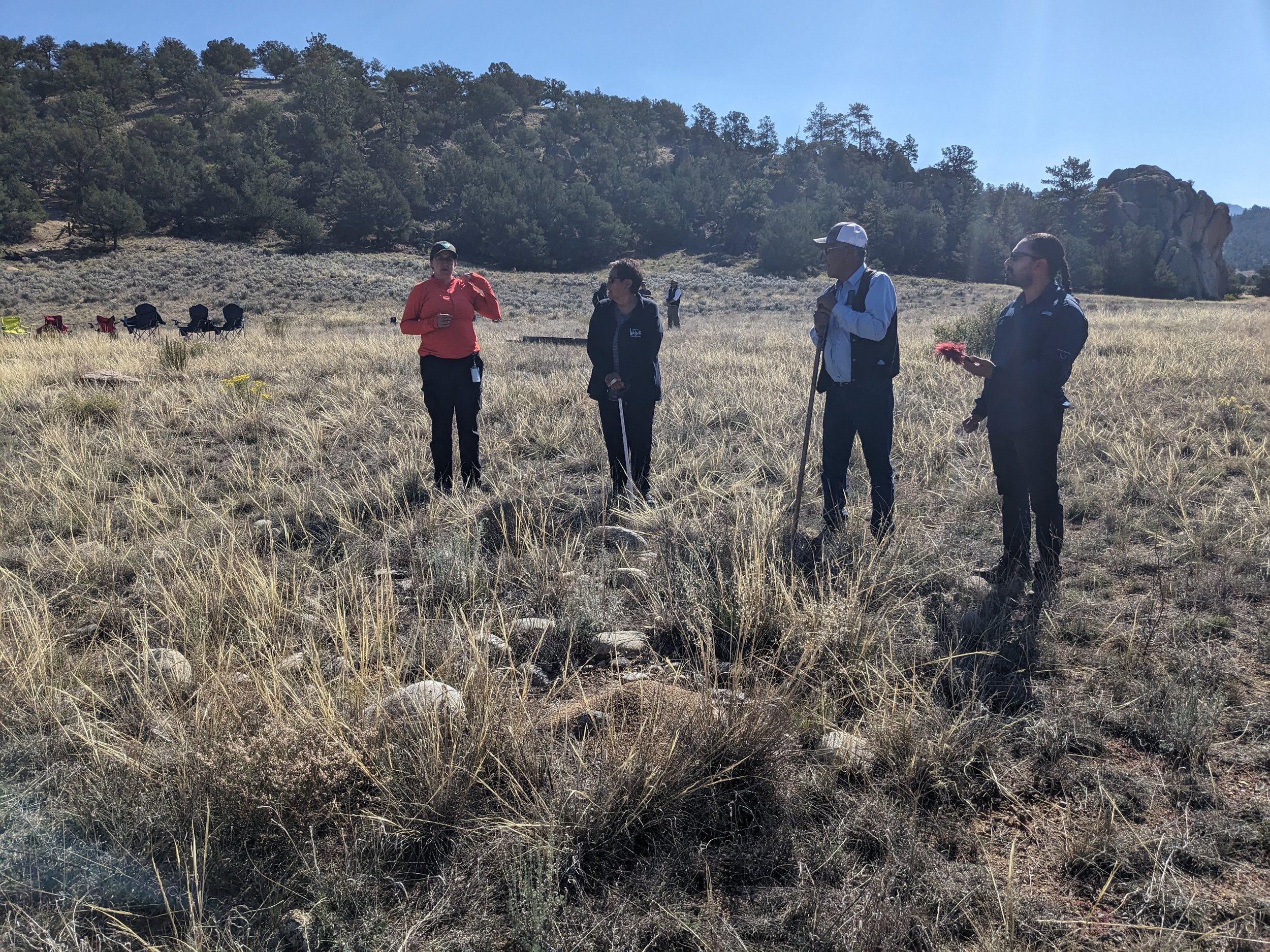
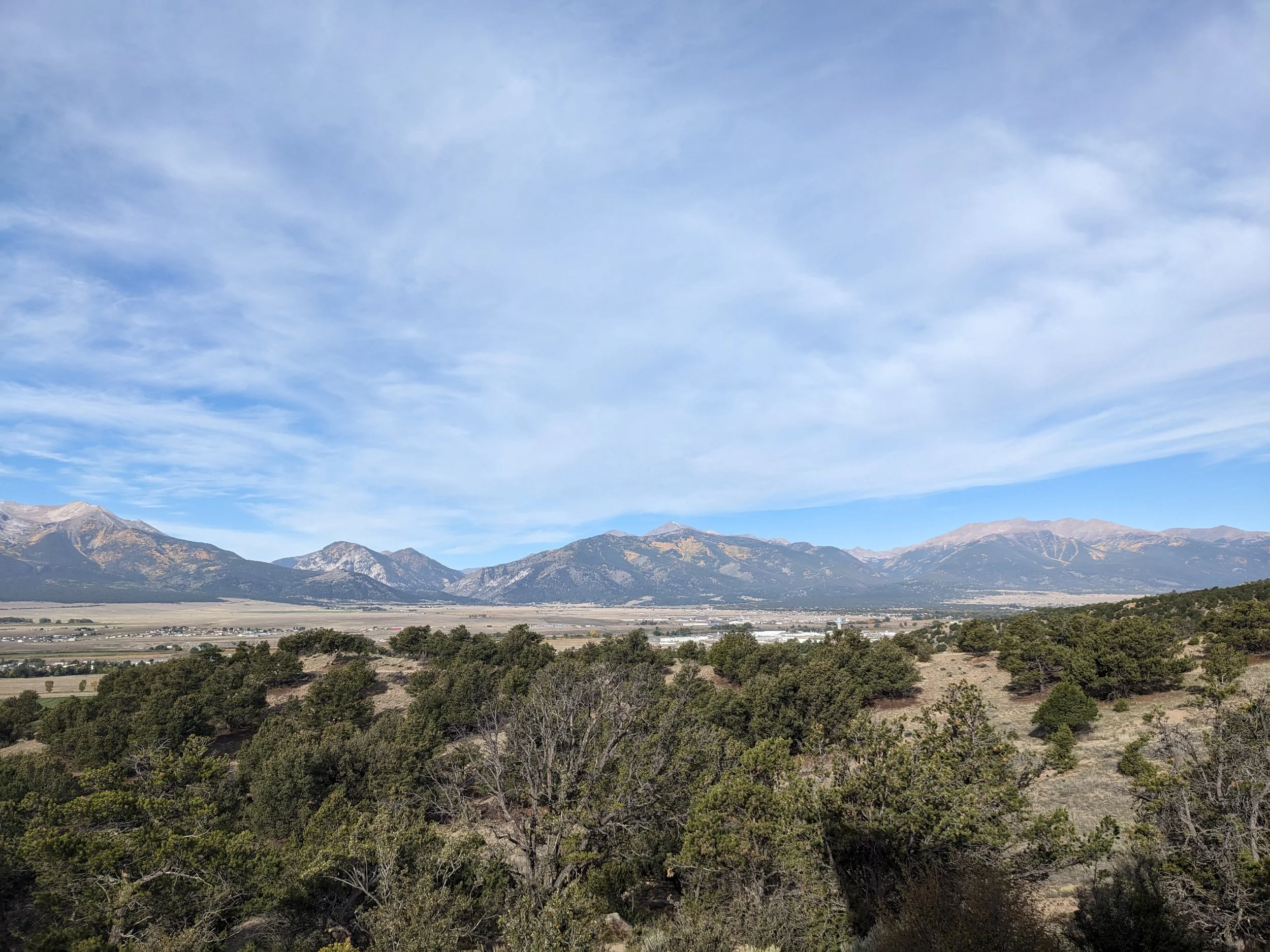
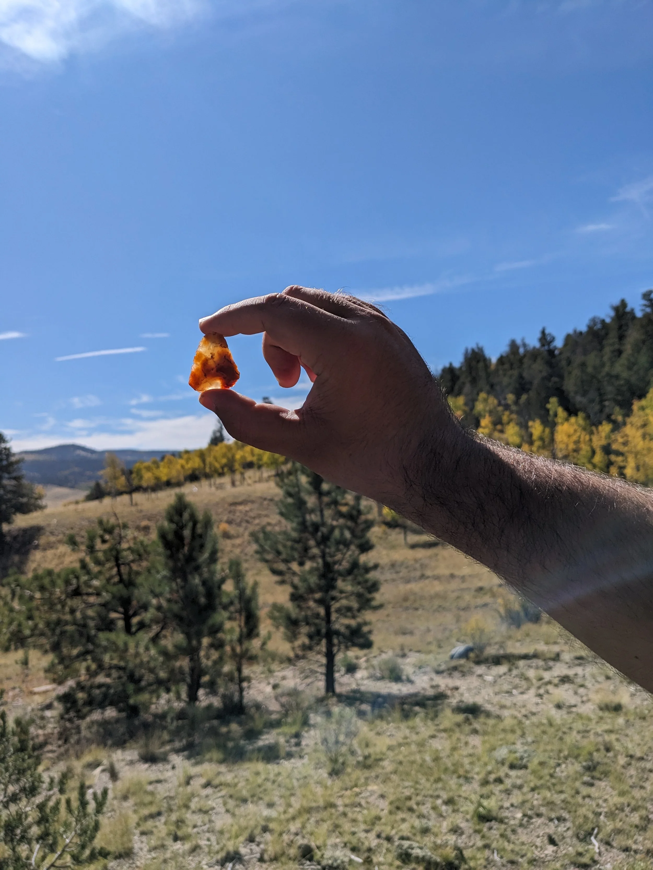
Browns Canyon National Monument Ethnographic Study
President Obama designated the 21,589-acre Browns Canyon National Monument on February 19, 2015. The Bureau of Land Management and the U.S. Forest Service jointly manage the Monument. Colorado Parks and Wildlife (CPW), through the Arkansas Headwaters Recreation Area (AHRA), manages river-based recreation on the Arkansas River through Browns Canyon.
Browns Canyon National Monument was set aside in part to aid in the protection of Native American heritage. BLM officials would like to increase tribal involvement in identifying, interpreting, and managing these heritage. To date only four percent of the monument has been surveyed by archaeologists resulting in 24 ethnohistoric discoveries indicating that additional survey work, with Native American participation and direction, could yield a significant amount of additional resources. The BLM recognizes that survey work has been minimal and lacks sampling from a variety of terrains. Additionally, BLM staff are concerned that recreational collection by visitors will continue. Currently, only a small percentage of Native American resources have been identified and documented by monument staff. Monument staff recognize that this limits their understanding of the Native American, particularly, Ute connections to the land, the Arkansas River, and associated cultural resources.
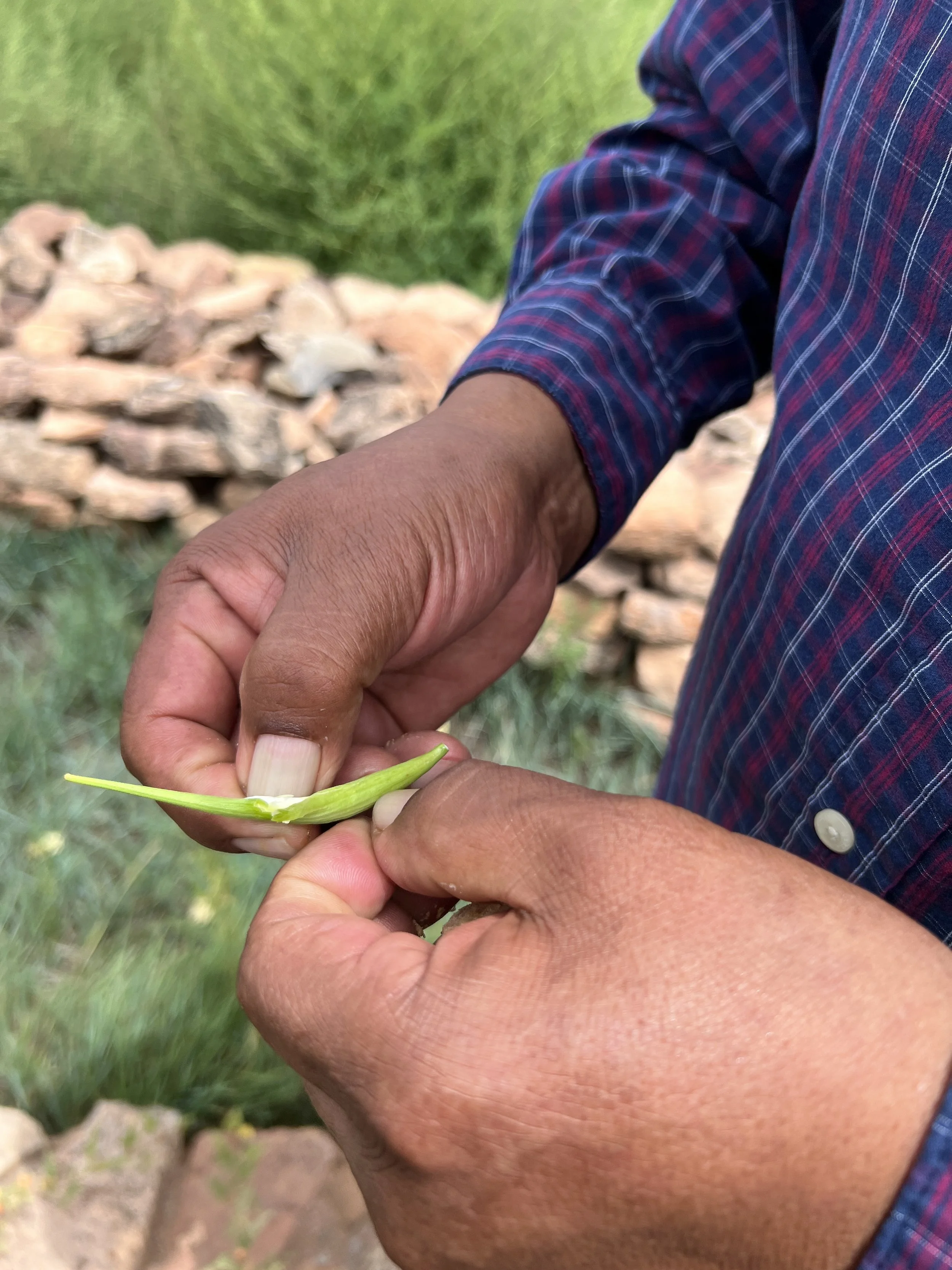
In order to expand their knowledge to better manage their resources, the monument has requested that an initial ethnographic cultural landscape study be conducted. This project focuses on working with tribal members to identify important cultural resources in Browns Canyon National Monument, including identifying plant and animal kin. It will directly inform management of natural and cultural resources at the monument, and may lead to further talks about co-stewardship of these resources.


Past Projects
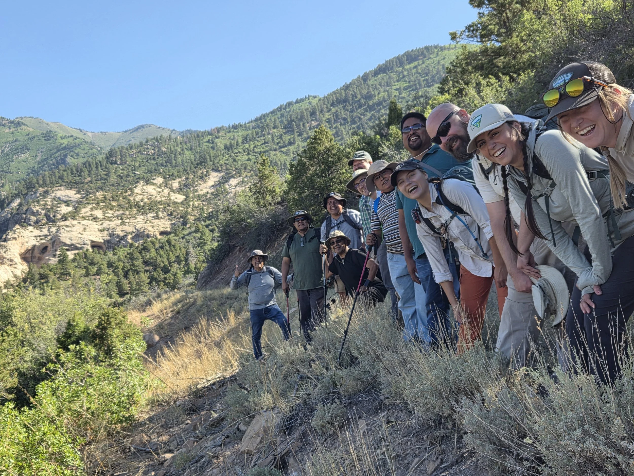
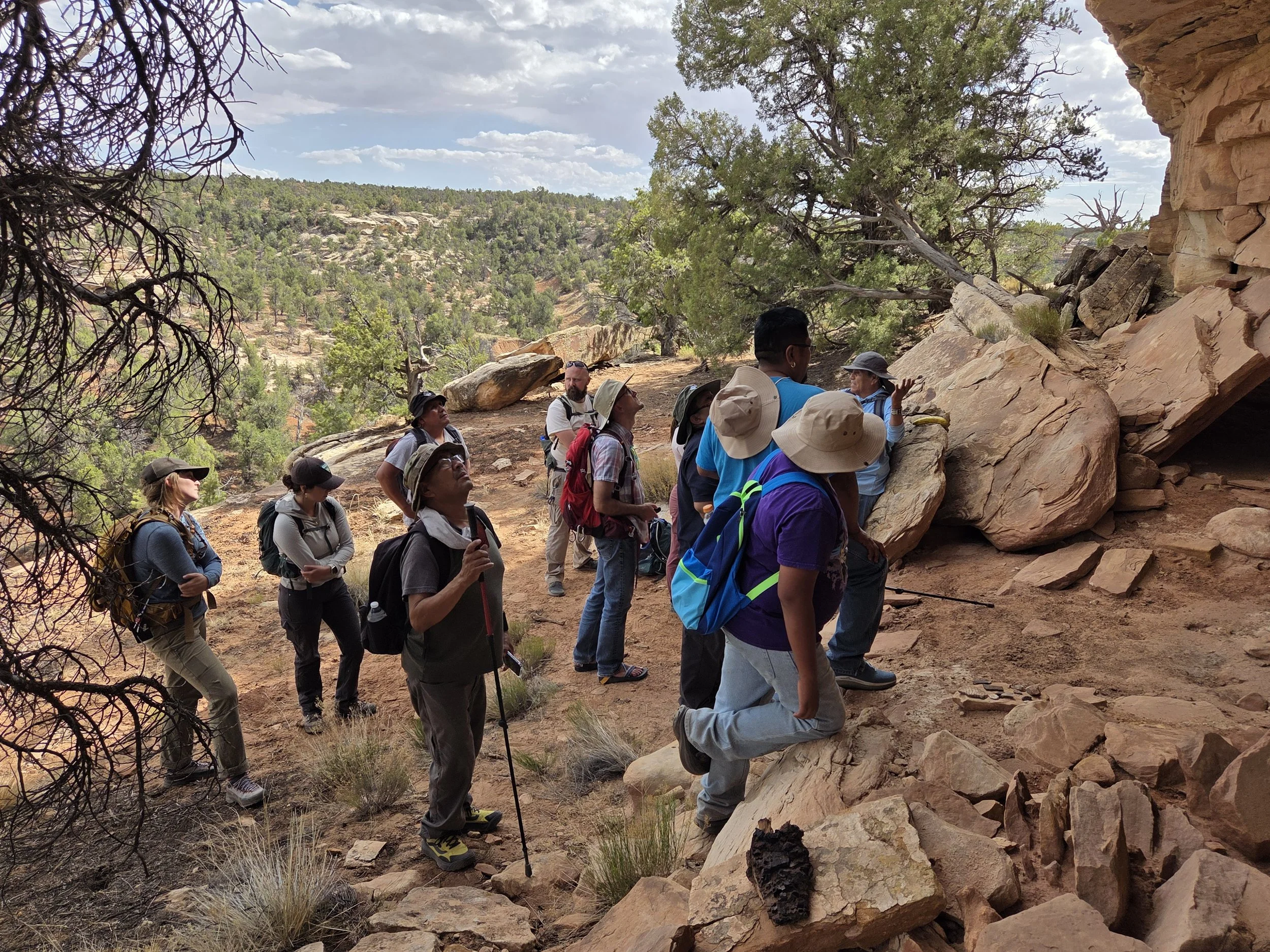
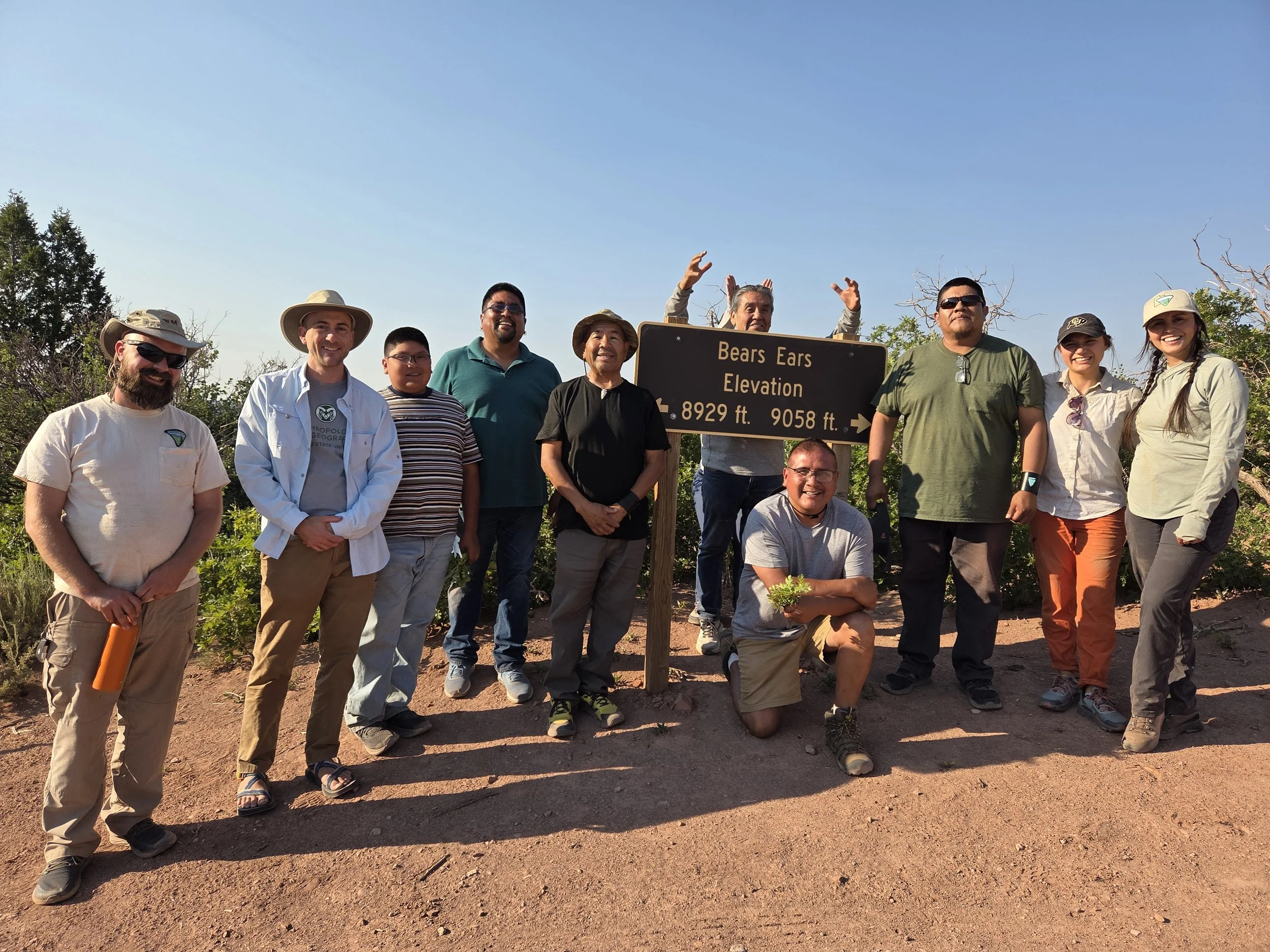
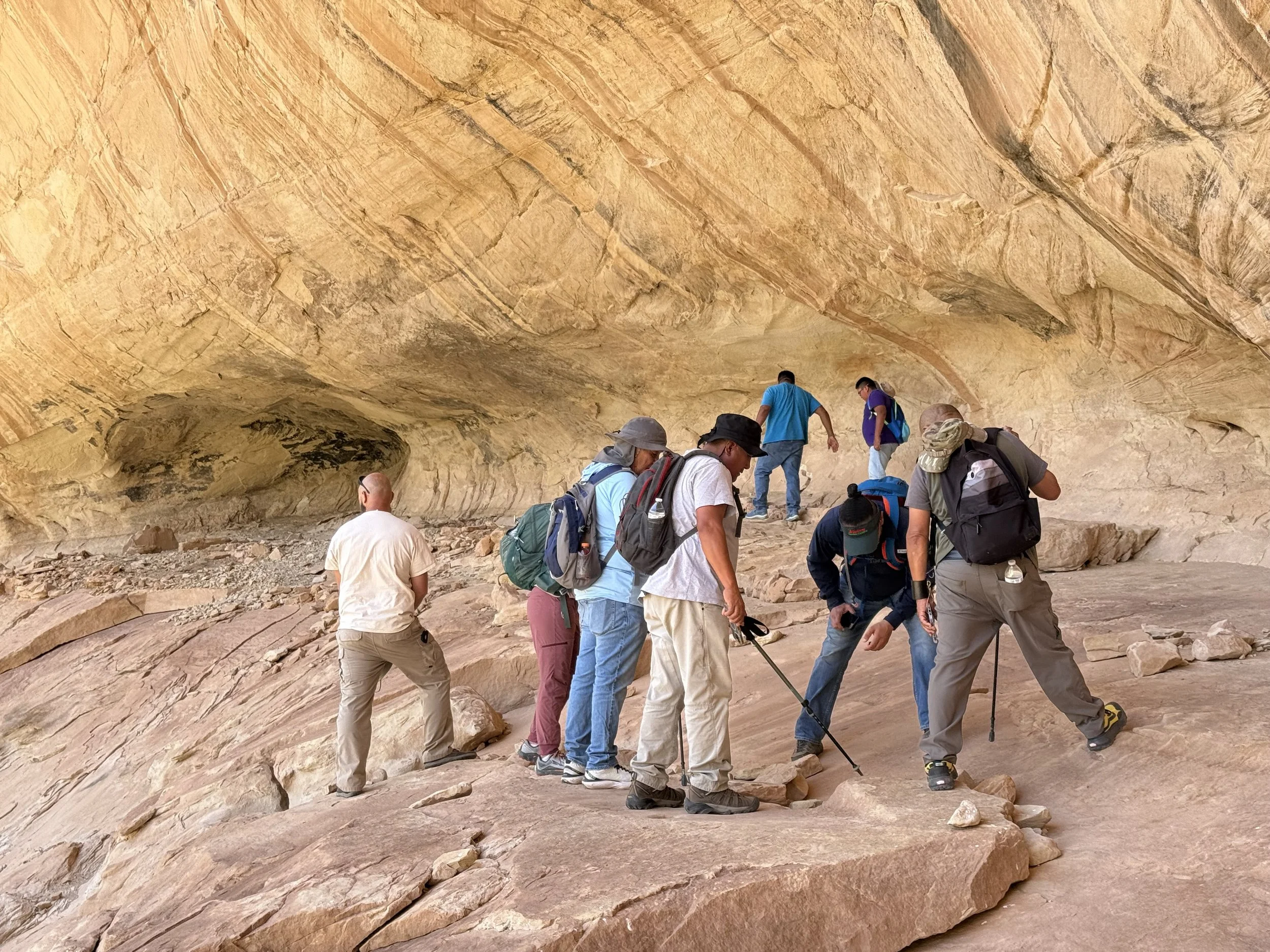
Monticello Field Office Ethnographic Partnership
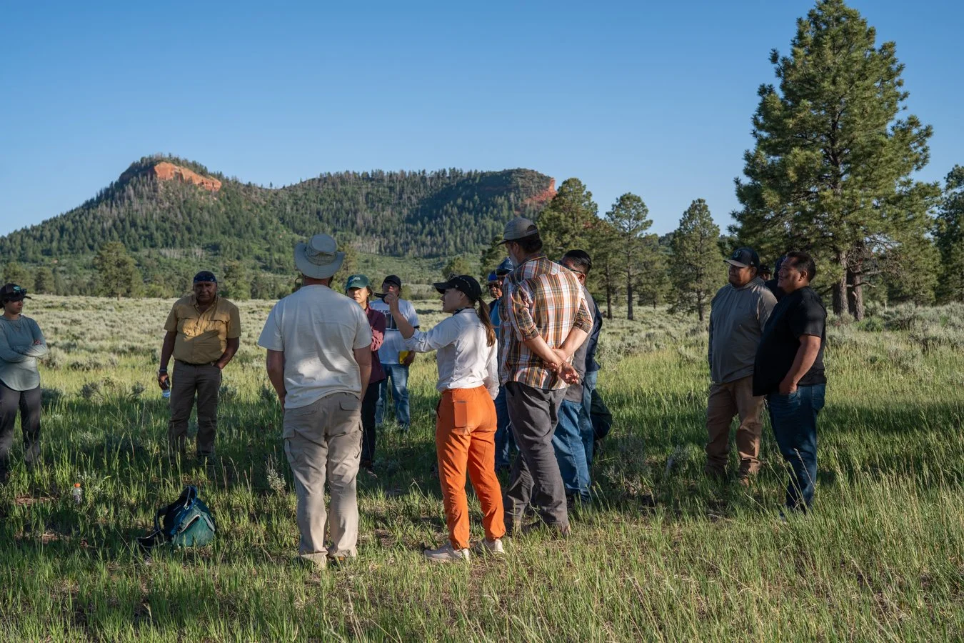
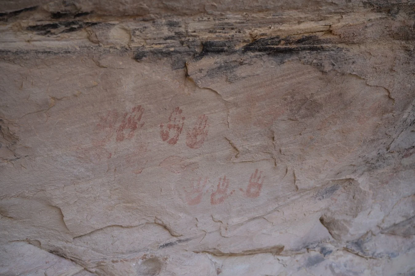
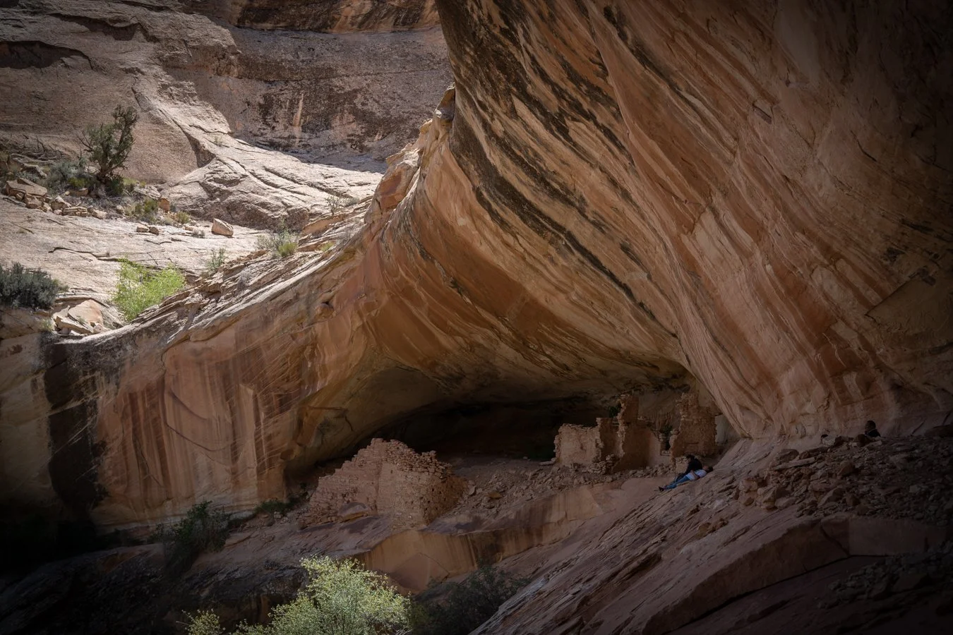
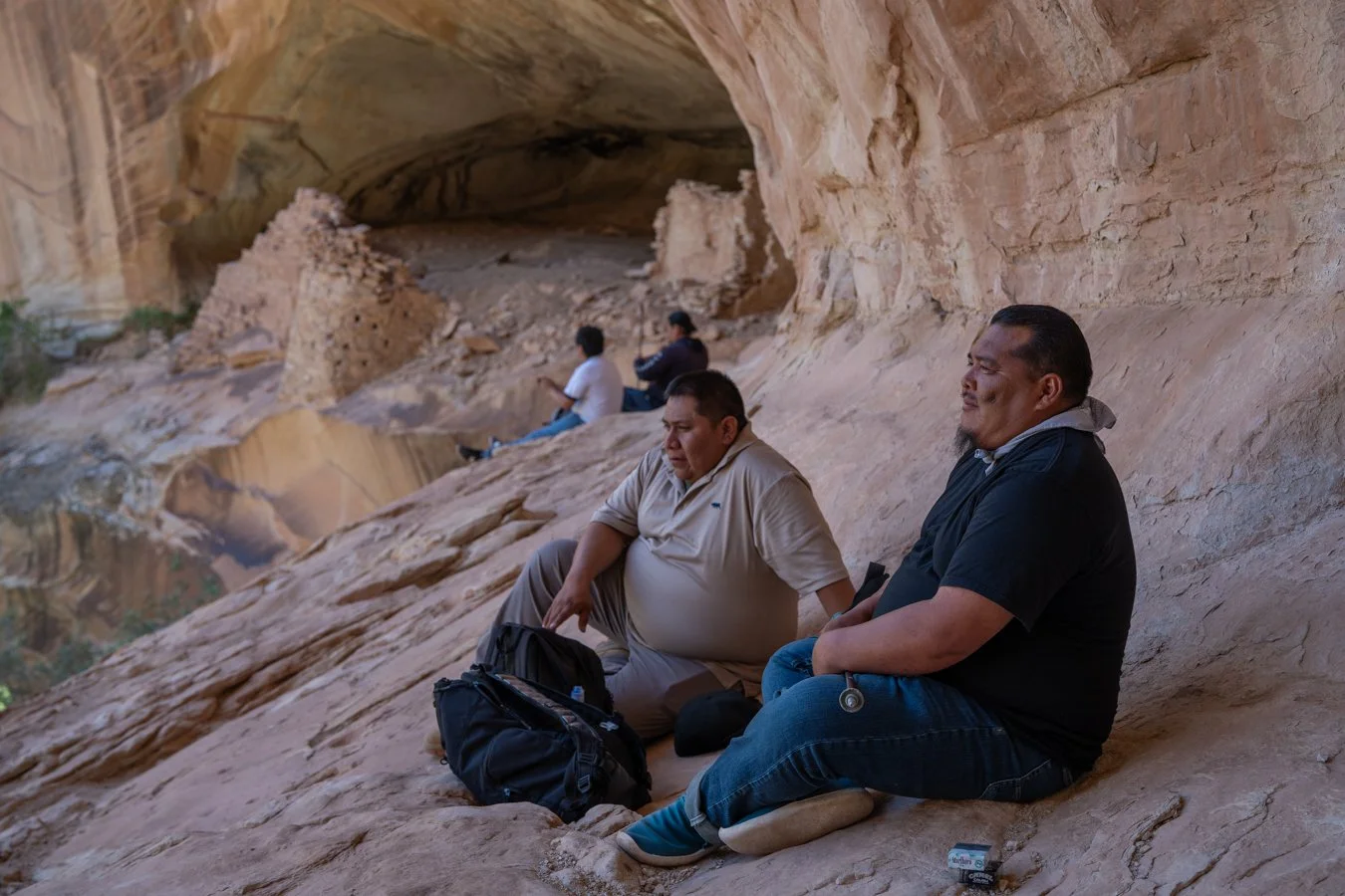
The Monticello Field Office administers nearly 1.8 million surface acres of land. Of that land, 1.3 million acres make up Bears Ears National Monument. These heritage lands contain landscapes ranging from the winding waters of the San Juan River to the deep gorges of Cedar Mesa and the sheer, dramatic cliffs of Indian Creek.
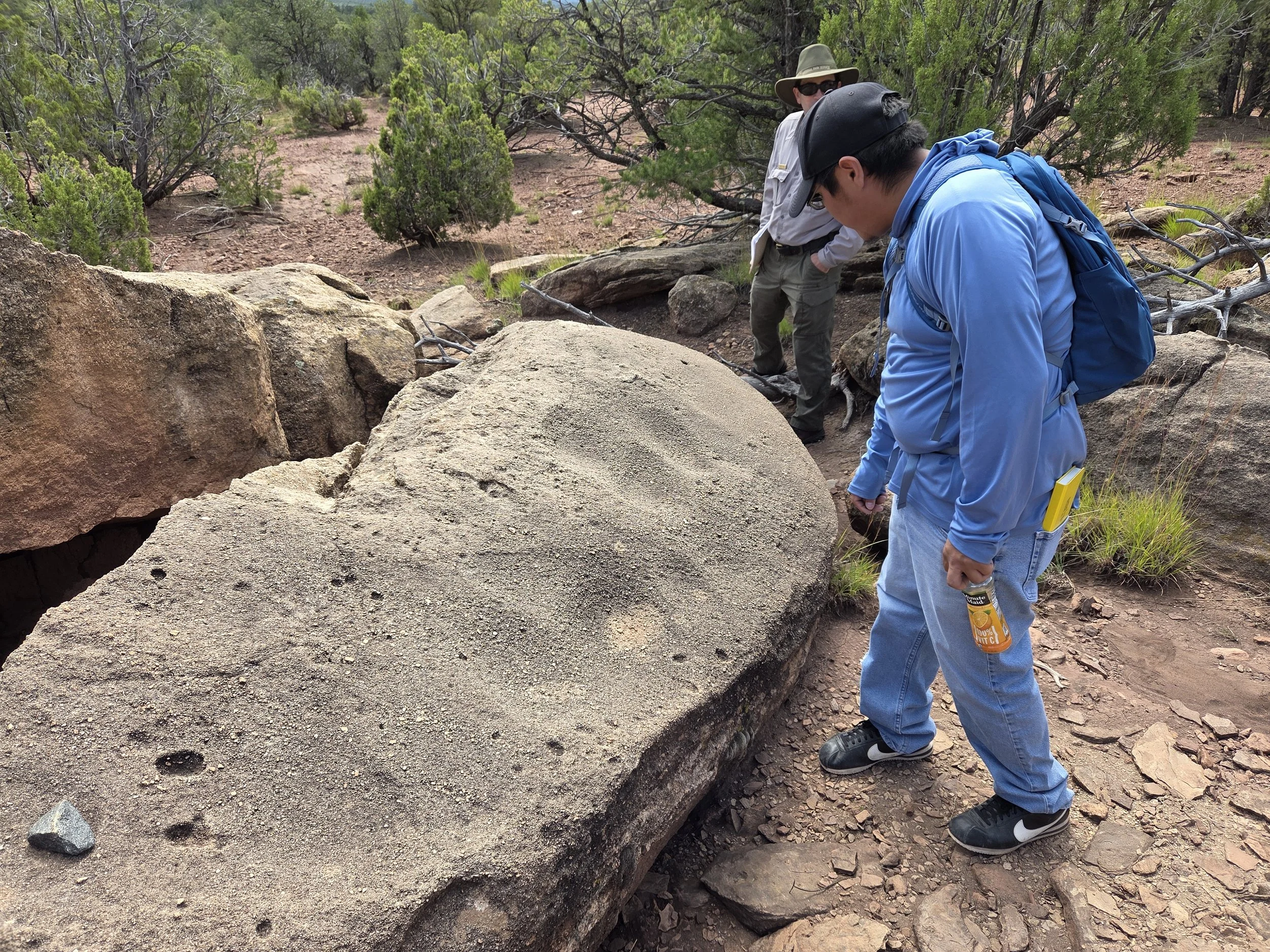
In the first phase of this project, HLC and our partners focused on an examination of the existing ethnographic and ethnohistorical information of southeastern Utah to understand how contemporary tribal peoples are connected to the Greater Cedar Mesa area. In a second phase of the project, we hope to inform the BLM Monticello Field Office (MFO) officials of how Native American tribes are connected to southeast Utah and how they have utilized the range of natural resources and plant/animal kin found within this complex landscape.
To do this we are inviting tribal communities from the first phase of study to inform MFO ecological and cultural landscape management to highest degree possible. Most importantly that means providing the tribes with the opportunity for regular review and in-person meetings focusing on agreements on management between the tribes and the BLM. Ultimately we could use these agreements to conduct additional ecological and ethnographic fieldwork. This relationship development would eventually lead to ecological restoration projects and co-stewardship agreements led by tribal communities in partnership with BLM. A primary focus of ecological and cultural conservation for this project is Bears Ears which is of great significance to the tribes.

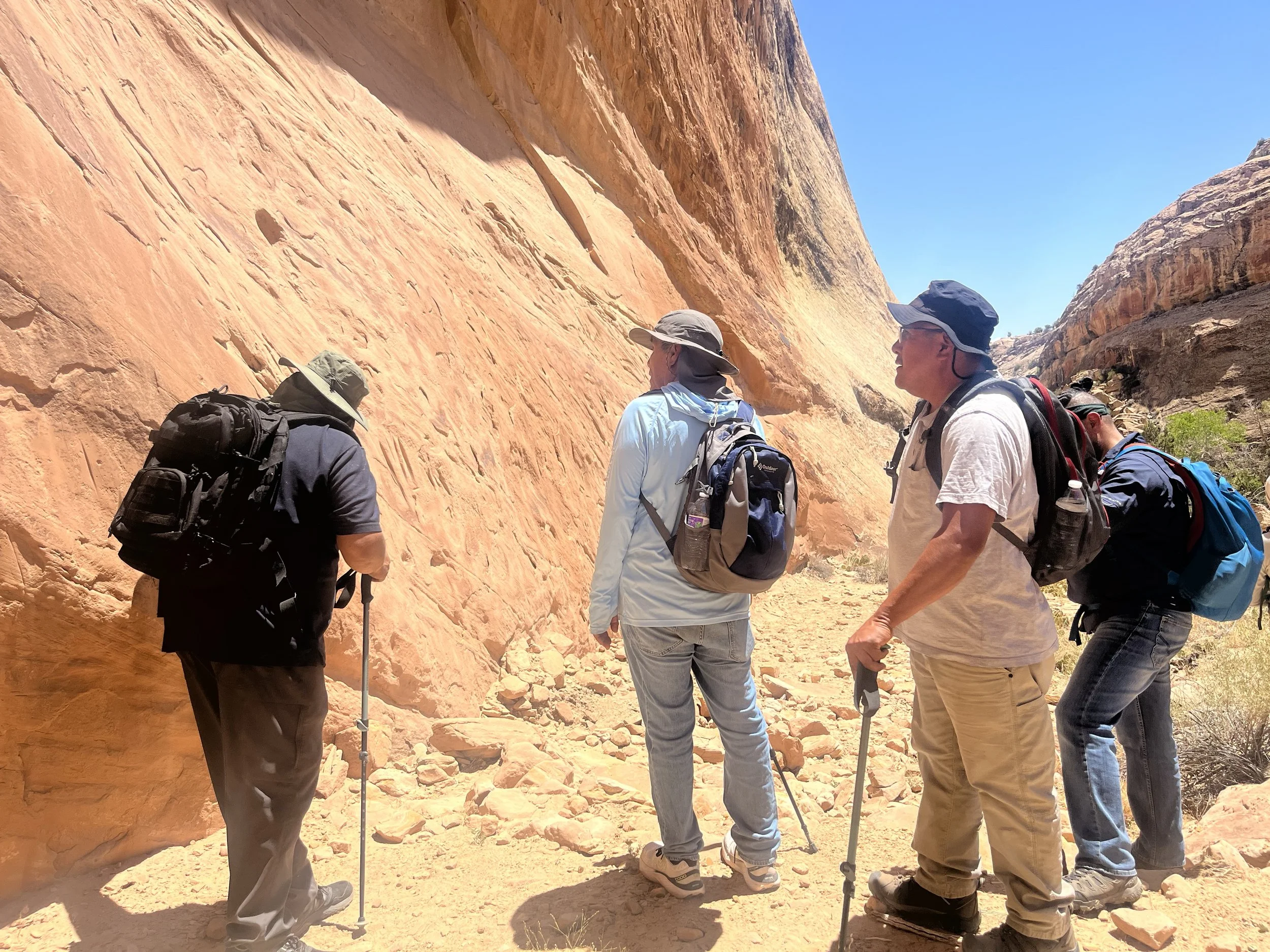
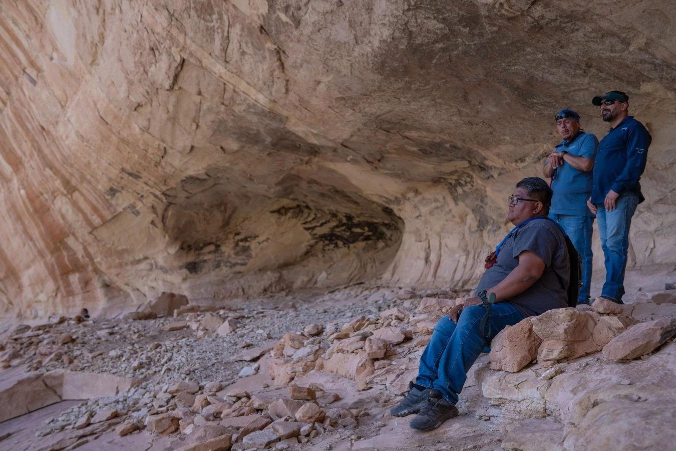
Moab Field Office Ethnographic Project
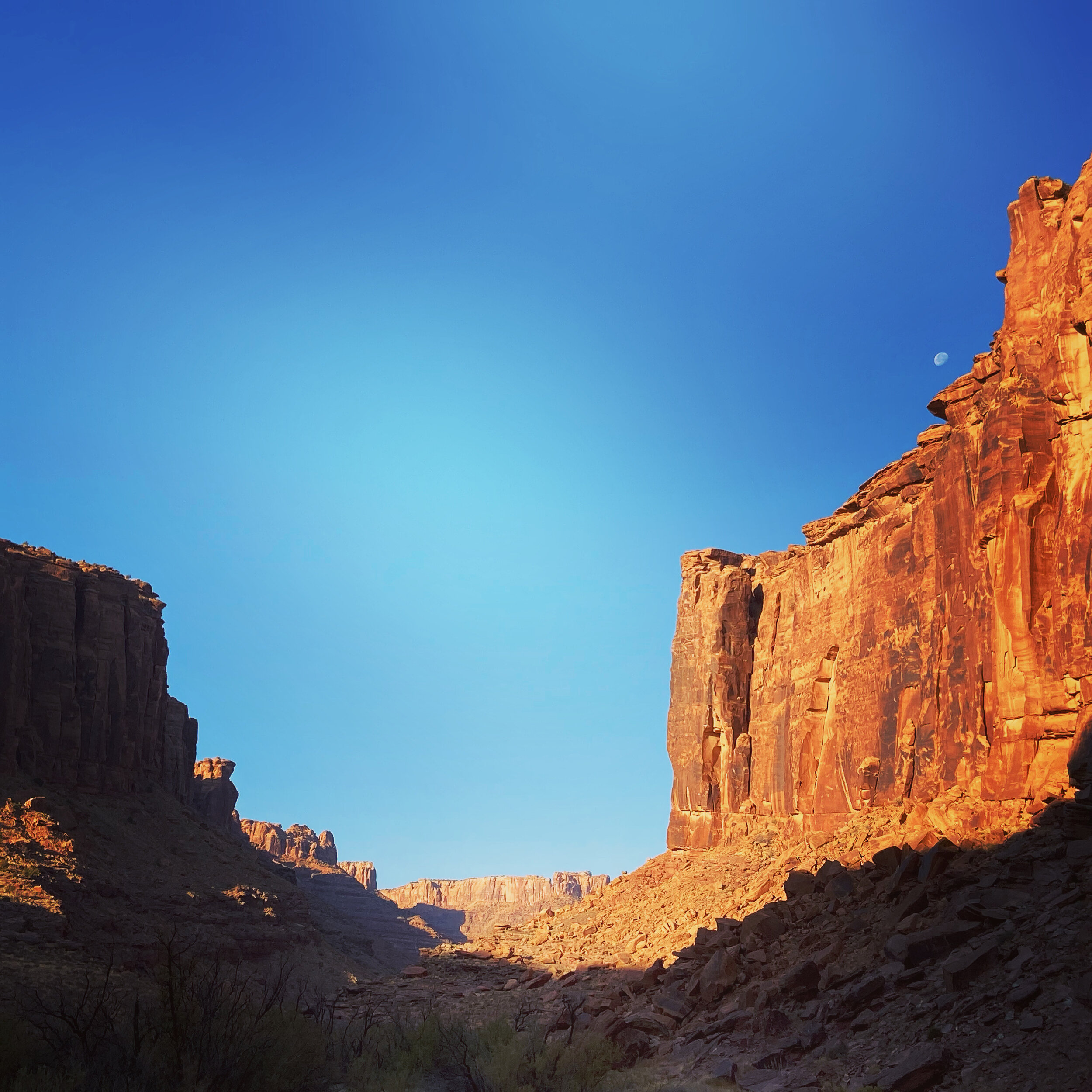
Located in the heart of the Colorado Plateau, the Moab Field Office encompasses 1.8 million acres of stunningly scenic canyon country. Carved by the Colorado and Green Rivers, Moab’s public lands include a vast variety of arches, natural bridges, mesas, and spires.
This study is a Native American cultural landscape ethnographic study of the lands around the town of Moab, Utah and in between Arches and Canyonlands National Parks, including lands to the north such as the Book Cliffs. For this project, HLC consulted with traditionally associated tribes on a range of places throughout the field office and interviewed tribal representatives regarding cultural history meaning, traditional/current use, and management recommendations.
The tribes provided baseline ethnographic overview for the BLM Moab Field Office including the Bookcliffs, Colorado River Corridor, the Potash Road, and other high visitation areas. The BLM would particularly like to understand more about areas of high visitation in order to make any appropriate management changes and provide interpretation related to tribal perspectives.
NAGPRA - Southern Arizona Office
In 1990, the Native American Graves Protection and Repatriation Act (known as NAGPRA) became law. This law mandated the return of ancestral human remains and funerary objects (in addition to objects of cultural patrimony and sacred objects) to culturally affiliated tribes. NAGPRA also mandated consultation with tribes regarding these collections, and consultation when ancestral remains or funerary objects are discovered during activities such as routine maintenance or archaeological investigations.
In 2023, NAGPRA legislation was revised to replace definitions and procedures for lineal descendants, Indian Tribes, Native Hawaiian organizations, museums, and Federal agencies. Instead, new definitions and procedures must defer to the traditional knowledge systems of descendent communities. In response to these new legal regulations, this project worked with affiliated Tribes to develop a comprehensive NAGPRA Resource Manual for the following national monuments in Arizona: Casa Grande Ruins National Monument, Montezuma Castle National Monument, Tonto National Monument, and Tuzigoot National Monument.
In addition, the project included an educational program for park interpretation that guides park staff on proper protocol for discussing NAGPRA concerns with visitors. The best response is to say, “Out of respect for tribal wishes, we don’t discuss this information. However, tribal governments and representatives want you to know that they have always treated, and continue to treat their deceased relatives and ancestors with care and respect."

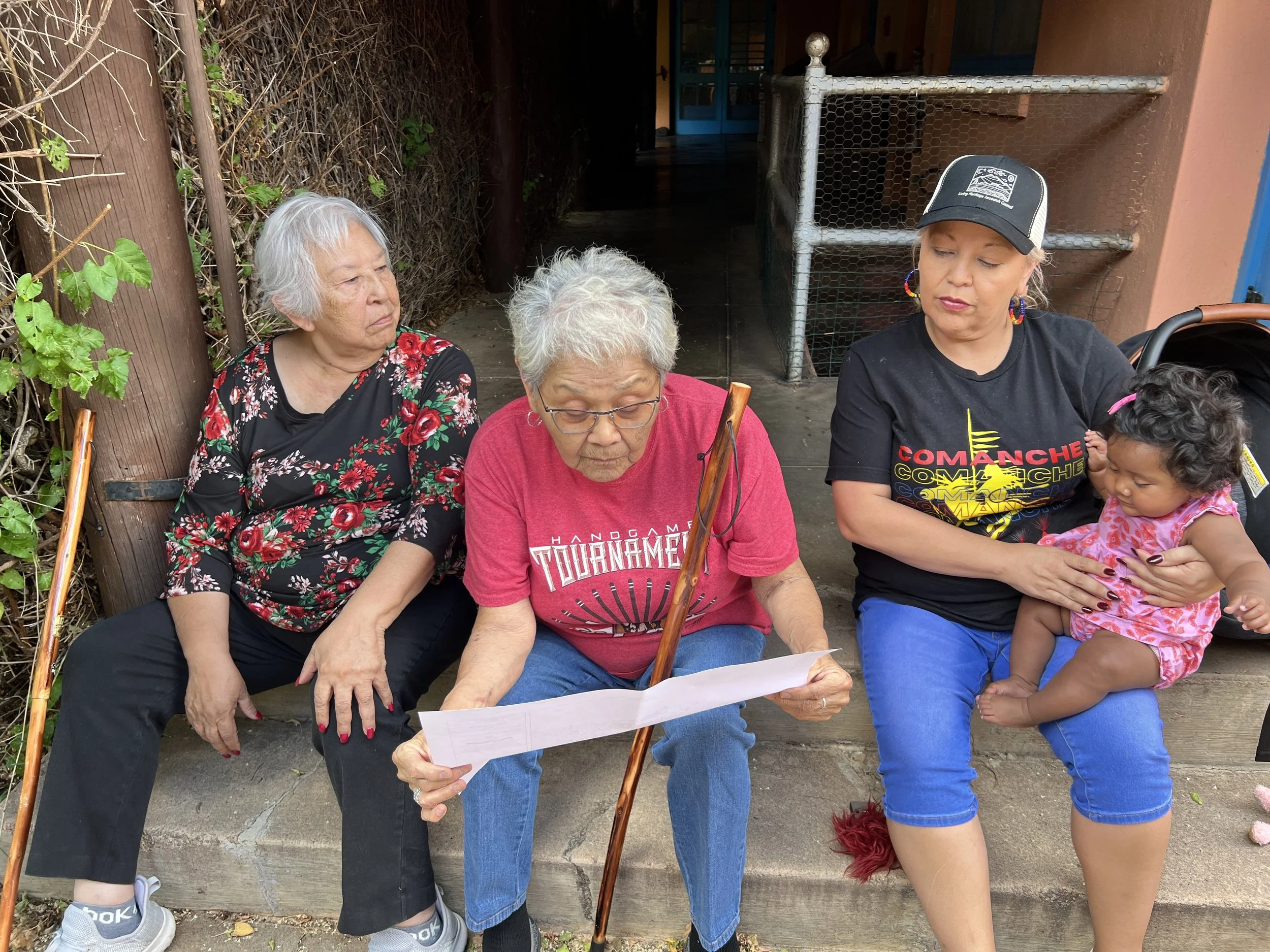
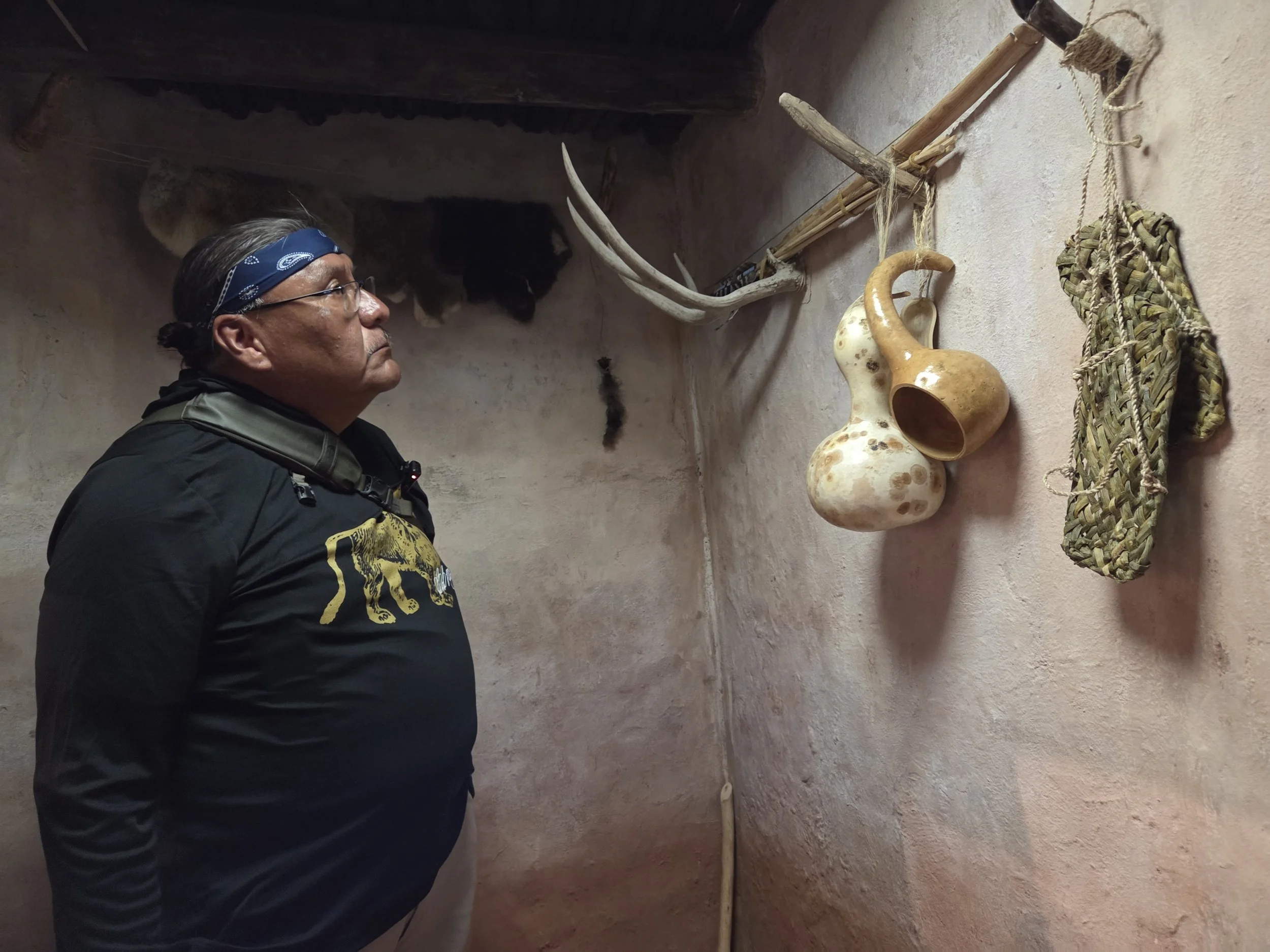
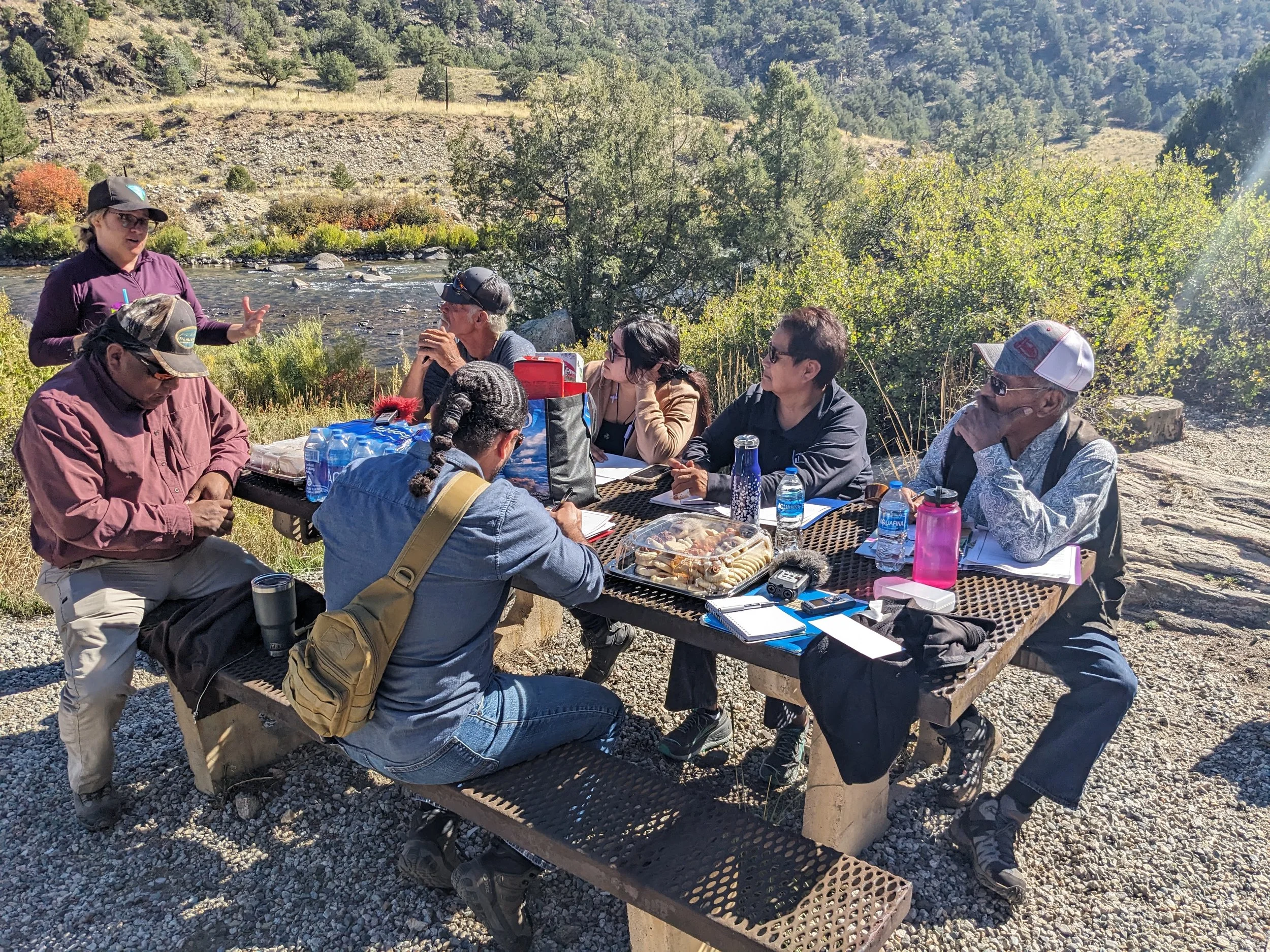
Indigenous Interns & Outdoor Experiential Learning
The Colorado State Historical Fund has awarded funding to support tribal interns who will engage in ethnographic and archaeological fieldwork, a river trip, and public outreach on and off the reservation. These internships will foster intergenerational learning and anthropological/ecological research skills to encourage Indigenous students and young professionals to pursue a career in cultural/natural resources fields. Having tribal youth interview and learn directly from their own elders is a blessing that is extremely important for cultural continuity and the wellbeing of current and future generations of Indigenous peoples.